Catalog Archive
Auction 182, Lot 418

"T Landt van Brasil met de Aengelegene Provincien", Gerritsz/De Laet
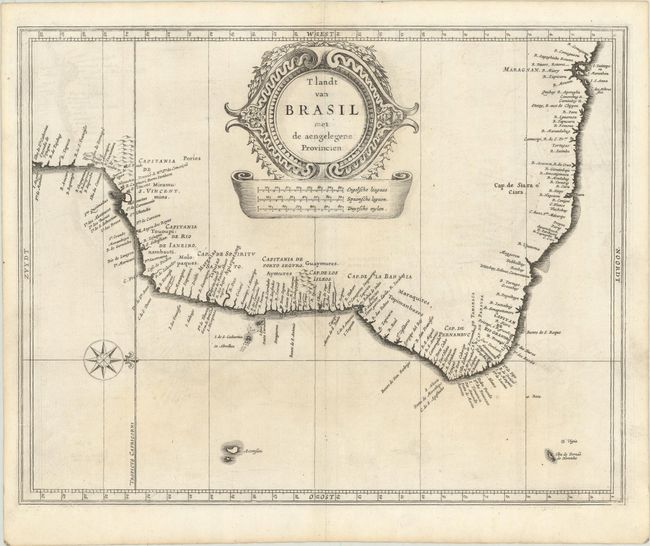
Subject: Brazil

Period: 1625 (published)

Publication: Nieuwe Wereldt ofte Beschrijvinghe van West-Indien…

Color: Black & White

Size:
14.1 x 11.1 inches
35.8 x 28.2 cm
Download High Resolution Image
(or just click on image to launch the Zoom viewer)

This fine map was a collaborative effort between Hessel Gerritsz, the official cartographer to the Dutch East India Company, and Johannes de Laet, the director of the newly formed Dutch West India Company. Most of Gerritsz' work was only done in manuscript and these maps, published by De Laet, are the only Gerritsz maps available to the collector today. Their maps of South America laid the foundation for many other cartographers. Detail is confined to the coastlines and includes the Capitanias. The interior is filled with a large title cartouche and distance scales The map is further embellished with a compass rose, orienting north to the right of the chart. This example comes from the first Dutch edition; later editions Latinize the title.

References: Shirley (BL Atlases) G.LAET-1a #8.

Condition: B+

A nice impression on a sheet with a coat of arms watermark. There is light offsetting, some faint toning, and a printer's crease at right.

Estimate: $475 - $600

Unsold

Closed on 4/28/2021

Archived