Catalog Archive
Auction 182, Lot 390

"Carte des Isles Situees au Nord de St. Domingue avec les Passages pour le Retour Appelles Debouquemens", Bellin, Jacques Nicolas
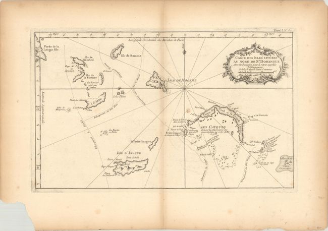
Subject: Bahamas

Period: 1763 (dated)

Publication: Le Petit Atlas Maritime

Color: Black & White

Size:
14.7 x 8.9 inches
37.3 x 22.6 cm
Download High Resolution Image
(or just click on image to launch the Zoom viewer)

This copper engraved chart covers the Turks and Caicos Islands, including the southeast end of Long Island. The chart names Isle de la Fortune, Isle de Samana, Isle de Krooked, I. d'Aklin, Isle d'Inague, la Petite Inague, Isles Plates, Isle de Mogane, les Cayques and le Mouchoir Carre. Numerous soundings and rock hazards are noted in Caicos. The map is embellished with a fleur-de-lys compass and a rococo-style title cartouche.

References: Mickwitz & Miekkavaara #10:I [62]; Phillips (A) #638.

Condition: B

Issued folding on thick watermarked paper with light toning along the centerfold and some faint offsetting. A large chip is confined to the bottom blank margin and would not be visible if framed.

Estimate: $110 - $140

Unsold

Closed on 4/28/2021

Archived