Catalog Archive
Auction 182, Lot 36

"Orbis Terrarum Veteribus Cogniti Typus",

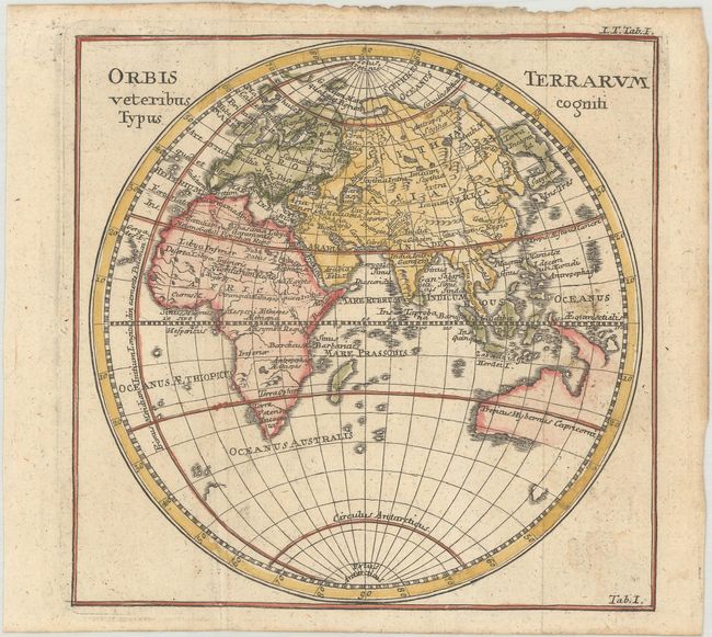
Subject: Eastern Hemisphere

Period: 1775 (circa)

Publication: Kurze Einleitung in die Allgemeine Geschichte Alter und Neuer Zeiten...

Color: Hand Color

Size:
6.3 x 6.3 inches
16 x 16 cm
Download High Resolution Image
(or just click on image to launch the Zoom viewer)

This is a reduced-sized edition of Christopher Weigel's map of the Eastern Hemisphere with the Prime Meridian running through the Canary Islands, the furthest western point according to Ptolemy. The map identifies ancient regions and cities throughout Europe, Asia and Africa, but the overall cartography is up-to-date. Japan is joined with a large island labeled Terra Incognita, and Australia is beginning to take shape with Tasman's discoveries in the region. Published by Johann Caspar Huber in Kurze Einleitung in die Allgemeine Geschichte Alter und Neuer Zeiten...

References:

Condition: A

A nice example with minor soiling and light toning along the top edge of the sheet.

Estimate: $110 - $140

Sold for: $80

Closed on 4/28/2021

Archived