Catalog Archive
Auction 182, Lot 222

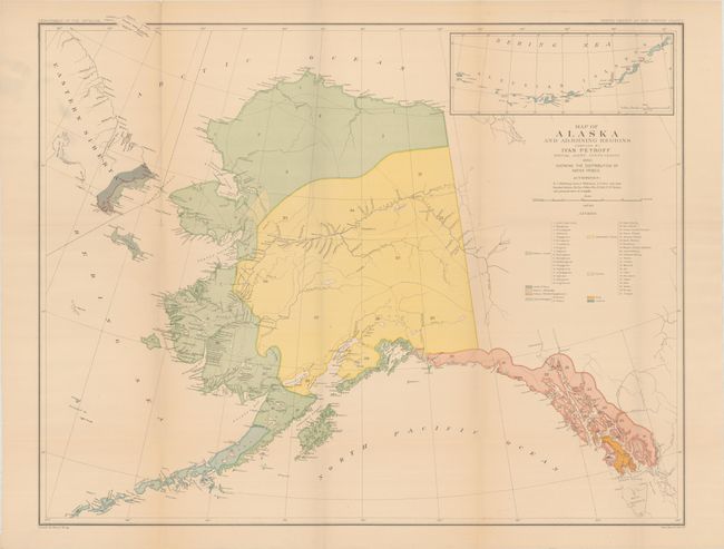
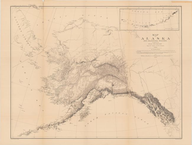
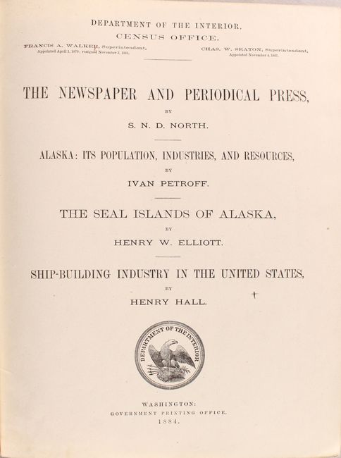
"[2 Maps with Report] Map of Alaska and Adjoining Regions [and] Map of Alaska and Adjoining Regions ... Showing the Distribution of Native Tribes [with] Alaska: Its Population, Industries, and Resources [and other reports]", U.S. Department of Interior

Subject: Alaska

Period: 1884 (published)

Publication:

Color: Printed Color

Size:
30.6 x 24.3 inches
77.7 x 61.7 cm
Download High Resolution Image
(or just click on image to launch the Zoom viewer)

This thick quarto volume was issued as part VIII of the Tenth Census of the United States and includes robust parts on the state of newspapers in the United States, shipbuilding, the Seal Islands of Alaska, and a comprehensive view of Alaska by Ivan Petroff, Special Agent. This 189-page Alaska section is particularly well-illustrated with 8 tissue-guarded color lithographs of the native population, 6 single-page maps, and two large folding maps at the rear of the volume including Map of Alaska and Adjoining Regions and Map of Alaska and Adjoining Regions ... Showing the Distribution of Native Tribes (each 30.6 x 24.3"). This latter map provides an excellent view of the native villages and small settlements clustered on the Kenai Peninsula and along the coast. It contains an inset detailing the Bering Sea and Aleutian Islands. The map features dramatic and quite early topography with notations crediting Russian, French and English charts. 1099 total pages with illustrations throughout. Hardbound in brown cloth with gilt title on spine.

References:

Condition: B+

Maps, plates, and text are very good with some light toning. The rear hinge is starting and the binding is somewhat loose due to the volume's size. Covers are lightly worn and stained.

Estimate: $275 - $350

Sold for: $140

Closed on 4/28/2021

Archived