Catalog Archive
Auction 182, Lot 213

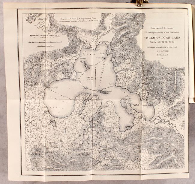
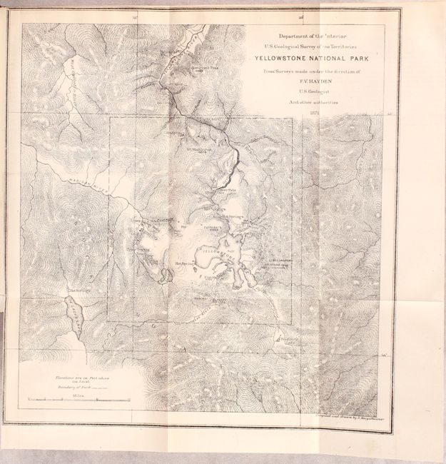
Important Report that Helped Establish Yellowstone National Park

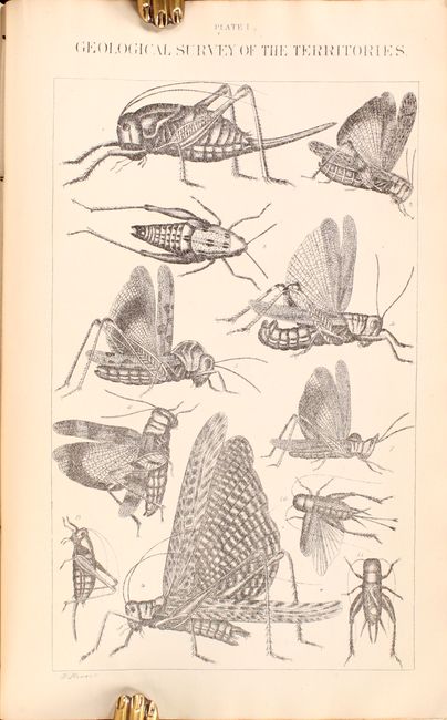
"Preliminary Report of the United States Geological Survey of Montana and Portions of Adjacent Territories; Being a Fifth Annual Report of Progress", Hayden, Ferdinand Vandeveer

Subject: Montana, Wyoming & Yellowstone

Period: 1872 (published)

Publication:

Color: Black & White

Size:
5.9 x 9 inches
15 x 22.9 cm
Download High Resolution Image
(or just click on image to launch the Zoom viewer)

Hayden, an American geologist, led the first federally-funded geological survey of Montana, Wyoming, and the Yellowstone region in 1871. The following year he published his findings in this report, which was presented to Congress and was instrumental in convincing Congress to establish Yellowstone as the first National Park in the United States. The report includes 5 folding maps, 2 plates of insects, and numerous in-text illustrations of geysers, geological formations, and more. The maps included are:

A. Yellowstone National Park (11.2 x 11.9")
B. Yellowstone Lake Wyoming Territory (14.8 x 14.5")
C. Lower Geyser Basin Fire Hole River Wyoming Territory (10 x 11.1")
D. Upper Geyser Basin Fire Hole River Wyoming Territory (11.5 x 9.2")
E. White Mountain Hot Springs, Gardiner's River (6.7 x 7.2")

Octavo, 538 pp. Hardbound in original brown cloth with gilt title on spine. Signed and dated 1873 by Edwin E. Howell, noted geologist and cartographer, best known for his raised-relief maps of Yellowstone National Park and the Grand Canyon.

References:

Condition: A

Contents are clean and bright with a just hint of toning. Front hinge is starting and the covers have minor wear at the corners.

Estimate: $240 - $300

Sold for: $350

Closed on 4/28/2021

Archived