Catalog Archive
Auction 182, Lot 16
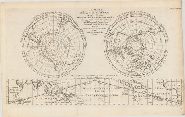
"Geography - A Map of the World in Three Sections, Describing the Polar Regions to the Tropics in Which Are Traced the Tracts of Lord Mulgrave and Captain Cook Towards the North & South Poles...", Bell, Andrew
Subject: World
Period: 1786 (circa)
Publication:
Color: Black & White
Size:
16.7 x 9 inches
42.4 x 22.9 cm
Download High Resolution Image
(or just click on image to launch the Zoom viewer)
(or just click on image to launch the Zoom viewer)