Catalog Archive
Auction 182, Lot 167

NO RESERVE

"Massachusetts and Rhode Island", Morse, Sidney Edwards

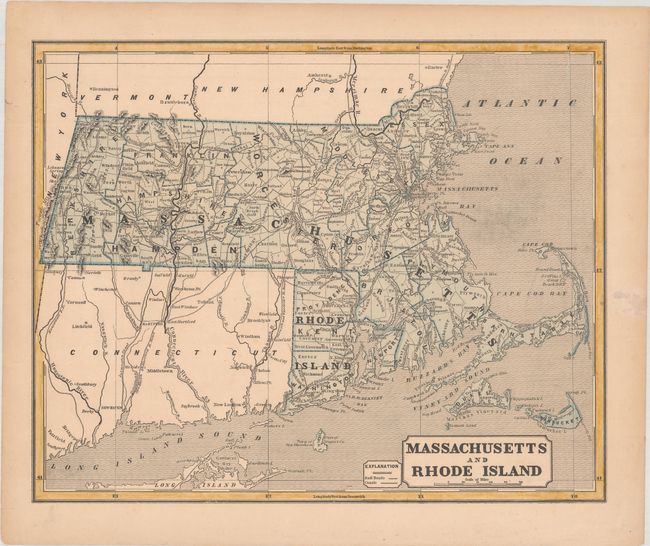
Subject: Massachusetts & Rhode Island

Period: 1842 (circa)

Publication: Morse's North American Atlas

Color: Printed Color

Size:
14.8 x 11.9 inches
37.6 x 30.2 cm
Download High Resolution Image
(or just click on image to launch the Zoom viewer)

This map was printed using the revolutionary cerographic process, a milestone in cartographic printing techniques. This early printed color technique was an important change in the way maps were produced and the only truly American cartographic publishing innovation.

This map shows counties, county seats, rivers, roads, railroads, and canals. Although the map focuses on Massachusetts and Rhode Island, major rivers and towns are identified in Connecticut. County lines are current circa 1840, just prior to Suffolk losing its northern tip to Essex. This is a great unfolded example from this early cerographic atlas.

References:

Condition: B+

Light toning with a few minor spots and a small stain in the right blank margin.

Estimate: $50 - $70

Sold for: $95

Closed on 4/28/2021

Archived