Catalog Archive
Auction 182, Lot 101

"Amerique Septentrionale", Tardieu, Ambroise
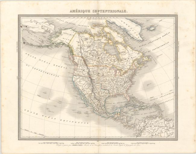
Subject: North America

Period: 1836 (circa)

Publication:

Color: Hand Color

Size:
16.8 x 13.3 inches
42.7 x 33.8 cm
Download High Resolution Image
(or just click on image to launch the Zoom viewer)

This detailed map of North America shows the United States' claims into present-day Canada reflecting the Oregon boundary dispute. Texas is shown as a part of Mexico, and Mexico's northern border is drawn according to the Treaty of 1819. A number of western rivers include dashed lines showing supposed courses, including one stretching across the Great Basin to the San Francisco Bay. Russia is in control of Alaska. Surrounded by a keyboard-style border with four distance scales in the bottom margin.

References:

Condition: B+

A crisp impression with some light scattered foxing that is more prominent in the blank margins. A short centerfold separation confined to the bottom blank margin has been closed on verso with archival tape.

Estimate: $200 - $230

Sold for: $150

Closed on 4/28/2021

Archived