Catalog Archive
Auction 181, Lot 427

"Montgomery Shire", Speed, John

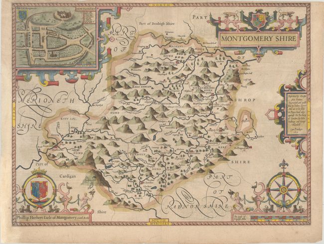
Subject: Eastern Wales

Period: 1610 (dated)

Publication: The Theatre of the Empire of Great Britain…

Color: Hand Color

Size:
20.3 x 15.1 inches
51.6 x 38.4 cm
Download High Resolution Image
(or just click on image to launch the Zoom viewer)

A handsome map of the historic county of Montgomery in Wales, based on the work of Christopher Saxton. The map is elaborately decorated with five strapwork cartouches, including a title cartouche, publisher's imprint, distance scale, and dedication to Philip Herbert, First Earl of Montgomery. The final cartouche features an inset with a bird's-eye plan of the city of Montgomery, with a lettered key identifying several key locations. Published by John Sudbury and George Humble. English text on verso.

References: Shirley (BL Atlases) T.SPE-1b.

Condition: B+

A nice example on a sheet with a bunch of grapes watermark, light toning, and some show-through of text on verso. The top margin is narrow but still sufficient for framing.

Estimate: $350 - $450

Sold for: $250

Closed on 2/10/2021

Archived