Catalog Archive
Auction 181, Lot 424
"Nieuwe Kaart van 't Zuider Gedeelte van Groot Britannie Behelzende het Koningryk Engeland Volgens de Laatste Waaremingen in het Ligt Gebragt", Tirion, Isaac
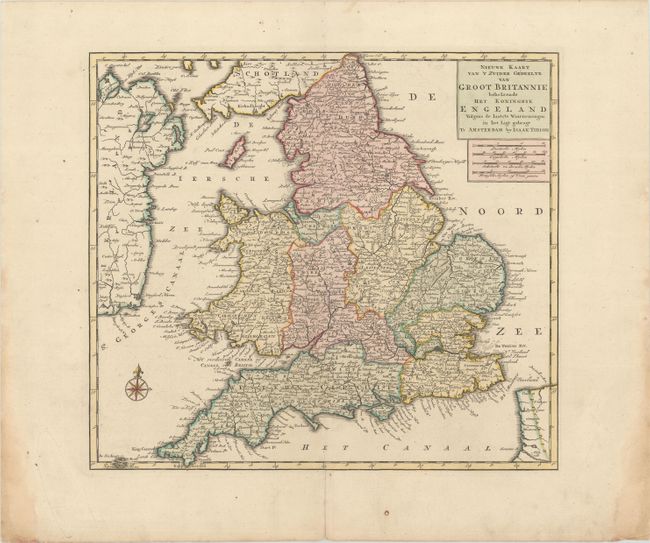
Subject: England & Wales
Period: 1755 (circa)
Publication:
Color: Hand Color
Size:
14.3 x 12.8 inches
36.3 x 32.5 cm
Download High Resolution Image
(or just click on image to launch the Zoom viewer)
(or just click on image to launch the Zoom viewer)