Catalog Archive
Auction 181, Lot 401

"Insularum Britannicarum Facies Antiqua", Cellarius, Christophorus
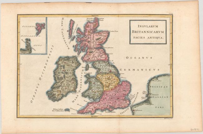
Subject: Britain

Period: 1742 (circa)

Publication: Geographia Antiqua

Color: Hand Color

Size:
12.1 x 8 inches
30.7 x 20.3 cm
Download High Resolution Image
(or just click on image to launch the Zoom viewer)

This copper engraved map depicts ancient Britain with the Orkney and Shetland islands in an inset at top left. Engraved by R.W. Seale. The map appeared in an edition of Christoph Cellarius' Geographia Antiqua, first published in 1701. His atlas proved quite popular, and was republished in many editions into the 19th century. This example possibly comes from the 1742 edition published by John and Paul Knapton, although an identical map was published in later editions.

References: McCorkle (18th C. Geography Books) #211-2; Shirley (BL Atlases) T.CELL-4a #2.

Condition: A

Issued folding with marginal toning.

Estimate: $100 - $130

Sold for: $50

Closed on 2/10/2021

Archived