Catalog Archive
Auction 181, Lot 314
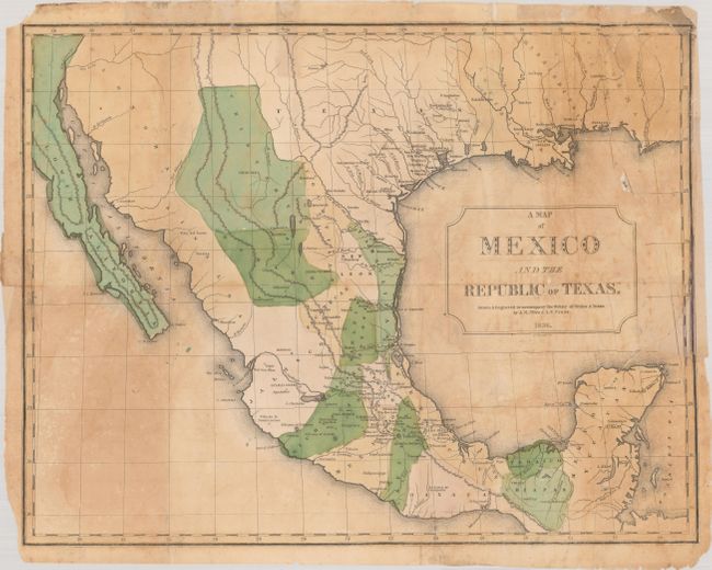
"A Map of Mexico and the Republic of Texas. Drawn & Engraved to Accompany the History of Mexico & Texas",
Subject: Texas & Mexico
Period: 1838 (dated)
Publication:
Color: Hand Color
Size:
16.4 x 12.7 inches
41.7 x 32.3 cm
Download High Resolution Image
(or just click on image to launch the Zoom viewer)
(or just click on image to launch the Zoom viewer)