Catalog Archive
Auction 181, Lot 23

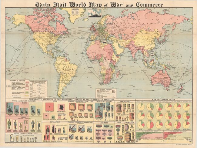
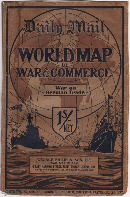
"Daily Mail World Map of War and Commerce", Philip, George

Subject: World, World War I

Period: 1915 (circa)

Publication:

Color: Printed Color

Size:
38.1 x 27.6 inches
96.8 x 70.1 cm
Download High Resolution Image
(or just click on image to launch the Zoom viewer)

This synoptic wall map from the outset of World War I is filled with fascinating details about the resources of the "belligerent powers" at the outset of the war, and served to showcase Britain's geopolitical and naval position. The map is color-coded to identify the Allied Powers (in pink), Central Powers (in green) and Neutral countries (in yellow). Interestingly, the Turkish Empire is marked in yellow with a green outline, suggesting German influence, however the Turkish Empire had already entered the war on the side of the Central Powers in November 1914. British and foreign naval stations, fortified coaling stations, steamship routes, submarine cables, and principal railways are identified on the map, showing the available transportation routes throughout the world. Images of British naval ships are shown in various seas and oceans along with the number of ships in that location, and a chart at bottom left details the distribution of the British fleets.

Below the map are a series of charts and pictograms that outline a variety of facts regarding the key players in the war, including the relative physical size of the empires, their populations, their naval and military resources, foreign commerce, railways, and important resources such as food, coal and petroleum. The series of pie charts illustrate the "war on German trade" with the green sections showing the percentage of a country's imports that come from Germany, and the pink sections showing British imports. Bar charts represent the types of goods exported from Germany to Britain (primarily metals) and vice versa (primarily wool).

The large map was issued folded in pictorial wrappers that include a 3-page pamphlet detailing the German colonial possessions. The wrappers and pamphlet are still present with this example but no longer attached to the map. Published by the London Geographical Institute. This map is quite rare; we found several examples in institutions, and only one other example previously listed for sale.

References:

Condition: B+

The map is very bright with light toning along the folds, and has been professionally flattened and backed in archival tissue to repair a number of short separations and tiny holes along the folds. The wrappers are toned and stained with some minor chipping and creasing.

Estimate: $900 - $1,200

Sold for: $650

Closed on 2/10/2021

Archived