Catalog Archive
Auction 181, Lot 194

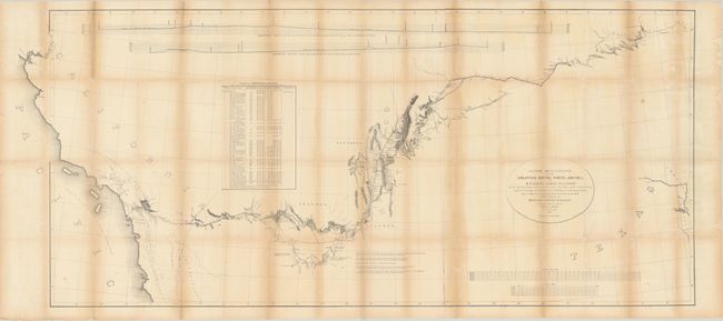
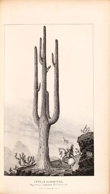
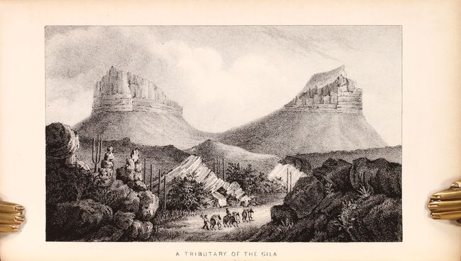
A Landmark in the Cartography of the American Southwest

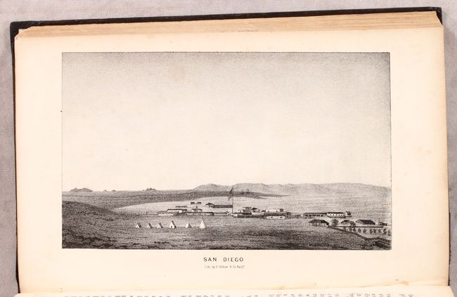
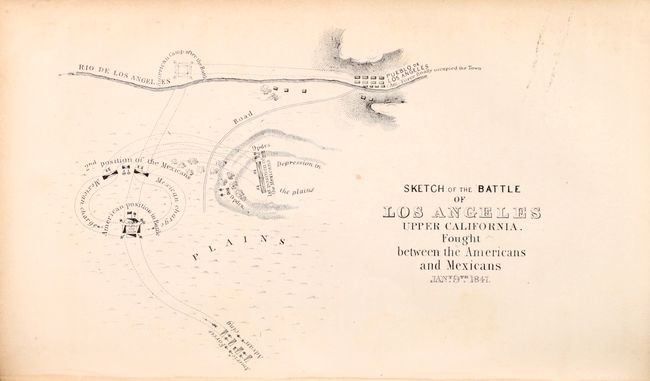
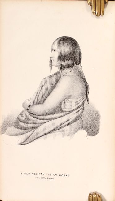
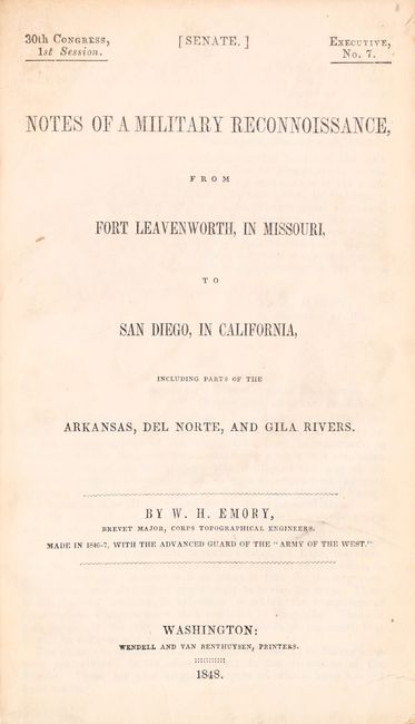
"[Lot of 2] Military Reconnaissance of the Arkansas, Rio del Norte and Rio Gila... [and] Notes of a Military Reconnaissance, from Fort Leavenworth, in Missouri, to San Diego, in California... ", Emory, William Hemsley

Subject: Southwestern United States

Period: 1848 (published)

Publication:

Color: Black & White

Size:
68.5 x 30.1 inches
174 x 76.5 cm
Download High Resolution Image
(or just click on image to launch the Zoom viewer)

An important Mexican-American War period map that shows the route of Col. Kearny and his Army of the West as they traveled from Ft. Leavenworth to Los Angeles via Santa Fe and San Diego. It provides detailed information of what would become the Southern Trail to the California gold fields. Wheat calls the map “a document of towering significance” and an important milestone in the cartographic development and accurate determination of the geography of the Southwest. A large map printed on three sheets, joined as issued.

The map is accompanied by the second Senate edition of Emory's important report documenting the 1846-47 journey through an untamed countryside where “barrenness and desolation hold their reign.” Emory's report is a major contribution to the geographical knowledge of the American West and an enjoyable read, with passages such as "I stopped in the little town of Isoletta, to visit my friend, the accolade, who has the reputation, Indian though he be, of being the most honest man and best maker of brandy in the territory." The report summarizes the activity of the U.S. Army of the West after the capture of New Mexico with important early views of the region. It is illustrated with 26 lithographed views, three battle maps, and 14 botanical plates. The important early view of San Diego is present. The battle plans are: Sketch of the Actions fought at San Pasqual in Upper California…; Sketch of the Passage of the Rio San Gabriel...; and Sketch of the Battle of Los Angeles Upper California. Fought between the Americans and Mexicans Jany. 9th, 1847. Complete with the two page report (Appendix No. 7) by P. St. Geo. Cooke, Major 2d Dragoons. Printed by Wendell and Van Benthuysen. This is the second edition printed, and thus did not originally contain the large folding map by Emory, which was included in the first and third editions. 416 pages, 40 plates, and 3 single-page maps. Octavo, hardbound in brown cloth covers with original paper label on spine.

References: Wheat (TMW) #544; Wagner & Camp #148:2; Howes #E-145.

Condition: B

Map was issued folding, now flat, with light toning and dampstaining and some fold separations that have been closed on verso with archival materials. The plates in the book are generally clean with an occasional spot of foxing. Text is lightly foxed. Covers and spine have light shelf wear. Endpapers and foredges include ink signature/stamp of previous owners.

Estimate: $375 - $450

Sold for: $425

Closed on 2/10/2021

Archived