Catalog Archive
Auction 181, Lot 108

"La Nouvelle France ou Canada", Bellin, Jacques Nicolas

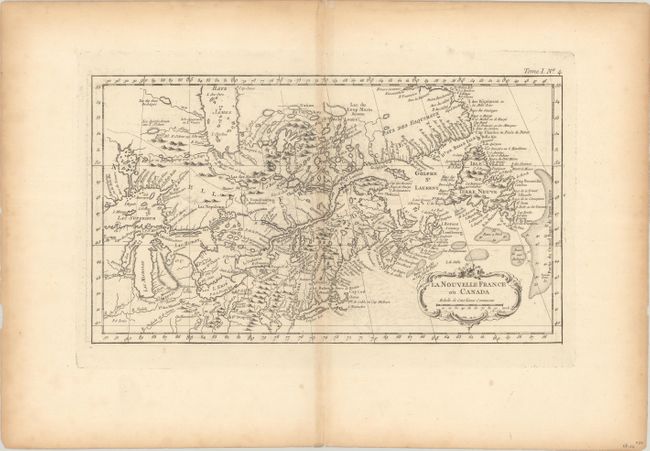
Subject: Colonial Northeastern United States & Canada

Period: 1764 (circa)

Publication: Le Petit Atlas Maritime

Color: Black & White

Size:
13.8 x 7.8 inches
35.1 x 19.8 cm
Download High Resolution Image
(or just click on image to launch the Zoom viewer)

An attractive map issued shortly after the conclusion of the French & Indian War. While the primary focus is on Canada, the map extends to include New England and points south to Philadelphia and west to the Great Lakes. There is excellent detail along the Atlantic coastline including Newfoundland and Nova Scotia, and the fishing banks are well-developed. Further inland, the map is filled with Indian villages and tribal territory, forts, missions, some trails and more. In Lake Superior, the fictitious island of I. Minong still appears.

References: McCorkle 764.2; Kershaw #374.

Condition: B+

On watermarked paper with some faint offsetting and light toning along the centerfold and sheet edges.

Estimate: $220 - $250

Sold for: $120

Closed on 2/10/2021

Archived