Catalog Archive
Auction 180, Lot 97

"A Chart Shewing Part of the Sea Coast of New Foundland from ye Bay of Bulls to Little Plecentia Exactly and Carefully Lay'd Down by Iohn Gaudy", Mount & Page

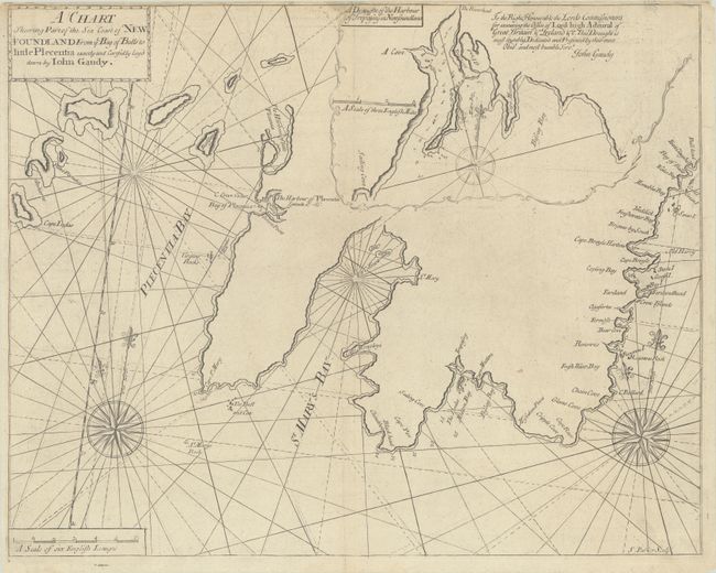
Subject: Newfoundland, Canada

Period: 1748 (circa)

Publication: The English Pilot. The Fourth Book

Color: Black & White

Size:
21.7 x 17.3 inches
55.1 x 43.9 cm
Download High Resolution Image
(or just click on image to launch the Zoom viewer)

This uncommon British chart of the east coast of the Avalon Peninsula was created of Lt. John Gaudy, who was commissioned to survey the region in 1716 as a direct result of the Treaty of Utrecht (1713), in which France conceded British sovereignty over Newfoundland. The coastline extends from Placentia Harbor to the Bay of Bulls, and an inset map at top right gives greater detail of the area around Mutton Bay and Biscay Bay. The map is adorned with two large compass roses. Engraved by S. Parker.

References: Shirley (BL Atlases) M.M&P-5a #6.

Condition: B+

A nice example with minor offsetting, light soiling along the top edge of the sheet, and professional repairs to some tiny chips and tears along the top edge of the sheet, with a minor amount of the neatline replaced in facsimile.

Estimate: $475 - $600

Sold for: $200

Closed on 11/18/2020

Archived