Catalog Archive
Auction 180, Lot 798

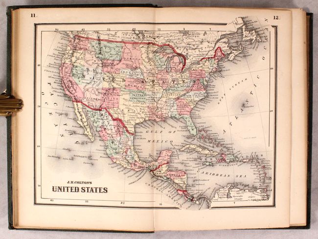
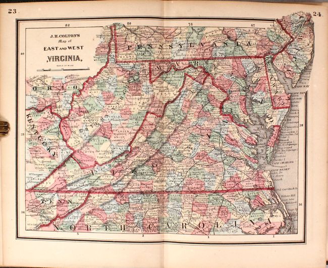
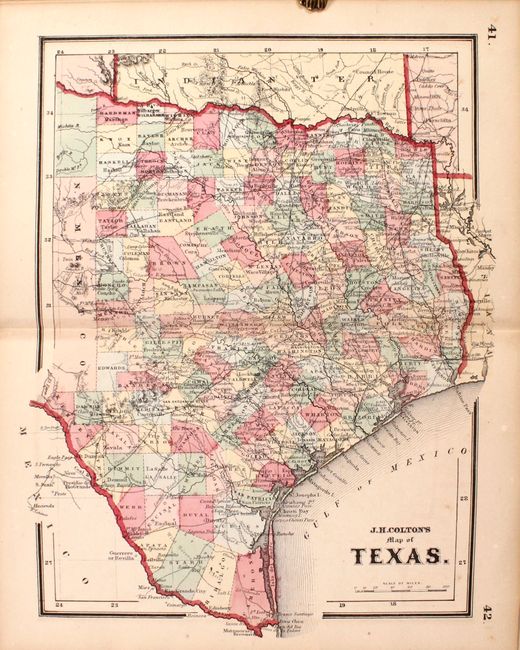
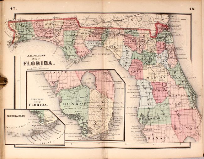
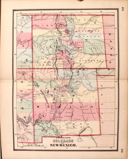
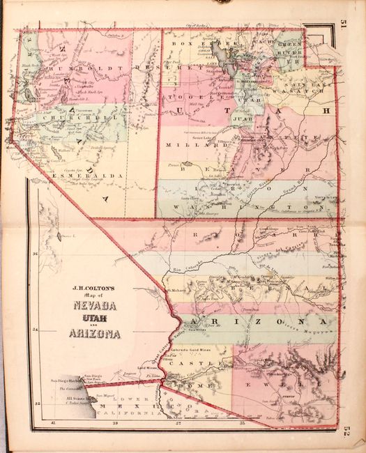
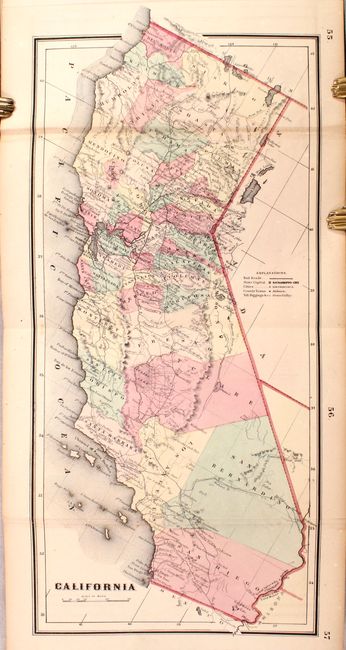
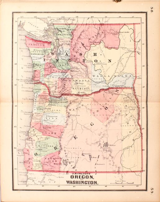
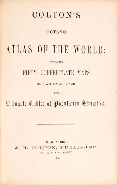
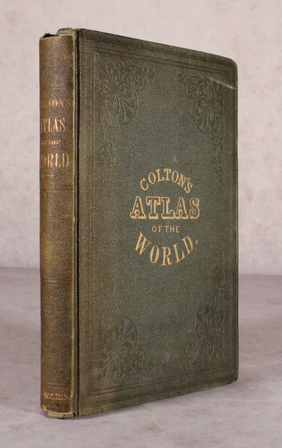
"Colton's Octavo Atlas of the World: Containing Fifty Copperplate Maps of Two Pages Each...", Colton, Joseph Hutchins

Subject: Atlases, Civil War

Period: 1865 (published)

Publication:

Color: Hand Color

Size:
6.6 x 9.9 inches
16.8 x 25.1 cm
Download High Resolution Image
(or just click on image to launch the Zoom viewer)

This uncommon octavo atlas is complete per the table of contents (not as the title suggests) with a total of 46 double-page maps and 1 folding map (California). Thirty of the maps relate to North America, with the balance consisting of South America (3), Europe (5), Asia (4), Africa (1), Australia (1), and World & Oceans (3). Issued around the conclusion of the Civil War, it contains several maps not seen in other larger Colton atlases including Maryland Delaware, and Eastern Virginia and East and West Virginia. This latter map shows the borders for the new state of West Virginia but is called Western Virginia. The atlas also includes a nice map of the entire United States, state maps of Texas and Florida, and several maps showing the evolving western territories including Colorado and New Mexico and Map of California, and Idaho. Octavo, hardbound in green cloth with gilt title on the front cover. Second edition.

References:

Condition: B+

The maps are very good with overall light toning and an occasional spot of foxing. Covers are a bit sunned and soiled with bumped edges.

Estimate: $1,100 - $1,400

Sold for: $700

Closed on 11/18/2020

Archived