Catalog Archive
Auction 180, Lot 609

"Orientalior Districtus Maris Mediterranei / T' Ooster Gedeelte van de Middelandse Zee", Ottens, Reiner and Joshua

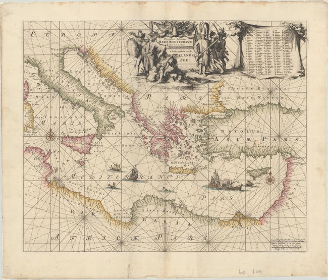
Subject: Eastern Mediterranean

Period: 1739 (circa)

Publication:

Color: Hand Color

Size:
22.6 x 18.5 inches
57.4 x 47 cm
Download High Resolution Image
(or just click on image to launch the Zoom viewer)

An attractive chart of the eastern Mediterranean, covering the region from Corsica and Sardinia east to Cyprus and the Holy Land. Features excellent detail along the coastlines with numerous place names identified along with a key at top right naming 139 locations. The waters are embellished with rhumb lines, two compass roses and sea monsters, and several ships including a battle scene near Cyprus. The chart is completed by a decorative title cartouche and two distance scales.

References:

Condition: A

A crisp impression with some minor staining along the lower centerfold. There are some light dampstains along the sheet edges, far from the map image.

Estimate: $1,100 - $1,400

Sold for: $750

Closed on 11/18/2020

Archived