Catalog Archive
Auction 180, Lot 188

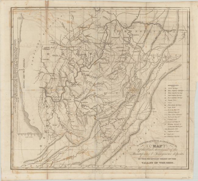
"A Topographical & Geological Map of the Coal Measures, & of the Muriatiferous & Ferriginous Deposits, in the Secondary Region of the Valley of the Ohio",
Subject: West Virginia, Ohio, Pennsylvania

Period: 1836 (circa)

Publication: American Journal of Science and Arts, Vol. 29

Color: Black & White

Size:
16.4 x 15 inches
41.7 x 38.1 cm
Download High Resolution Image
(or just click on image to launch the Zoom viewer)

This map by S.P. Hildreth is one of the earliest geological maps of the West Virginia region, covering the area from the Allegheny Mountains of Virginia north to Pittsburgh and west to Columbus. It is densely filled with geological information including petroleum springs, salt springs, iron ore, lead ore and limestone deposits to name a few. The map also shows good detail of topography via hachure and the river systems. To the left is a profile view of the Ohio Valley.

References: Marcou #353.

Condition: B

Issued folding with moderate offsetting and minor foxing. A 2" fold separation at top left and a 1" edge tear at right have been closed on verso with archival tape.

Estimate: $220 - $250

Sold for: $230

Closed on 11/18/2020

Archived