Catalog Archive
Auction 179, Lot 96

"N. America", Neele & Son

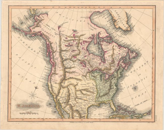
Subject: North America

Period: 1813 (dated)

Publication:

Color: Hand Color

Size:
11.1 x 8.8 inches
28.2 x 22.4 cm
Download High Resolution Image
(or just click on image to launch the Zoom viewer)

This map shows the United States confined to east of the Mississippi River with a large Louisiana to its west. The Southwest is under Spanish control while Alaska is noted as "Russian Settlements." The course of the Missouri River abruptly ends in the Dakotas (pre-Lewis & Clark) and there are numerous spurious mountain ranges in the west. Indian tribes, trails, rivers and some place names are located in the west including Santa Fe and Texas.

References:

Condition: A

Issued folding on a mostly clean sheet.

Estimate: $180 - $220

Sold for: $130

Closed on 9/16/2020

Archived