Catalog Archive
Auction 179, Lot 880

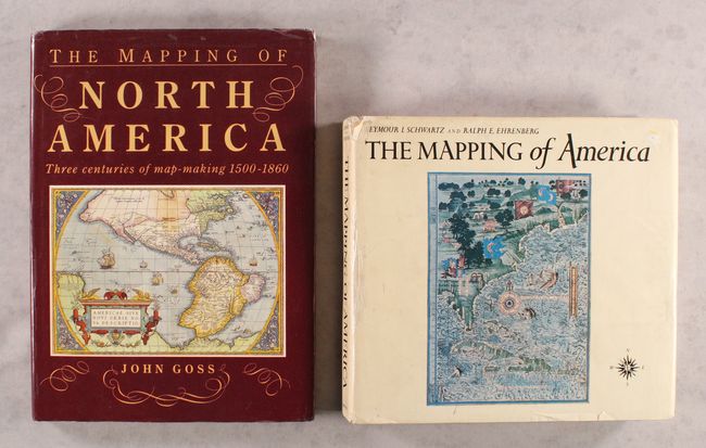
"[Lot of 2] The Mapping of North America - Three Centuries of Map-Making 1500-1860 [and] The Mapping of America",

Subject: References, North America

Period: 1980-90 (published)

Publication:

Color: Printed Color

Size:
10.4 x 14.3 inches
26.4 x 36.3 cm
Download High Resolution Image
(or just click on image to launch the Zoom viewer)

A. The Mapping of North America - Three Centuries of Map-Making 1500-1860, by John Goss, published 1990 (10.4 x 14.3"). By focusing on the evolution of mapping, this book reveals how the perceptions of the world changed as more areas were explored. It contains many of the most important and famous maps of the Americas as well as some of the more common nineteenth century examples. 184 pp, introduction plus 85 full-page illustrations, of which 80 are in color, each with well researched information. Hardbound in red cloth with gilt titles on spine and illustrated dust jacket. Condition: Contents are clean and tight and the cover edges are slightly bumped. Dust jacket is worn with a small tear on the rear side. (B+)

B. The Mapping of America, by Seymour I. Schwartz and Ralph E. Ehrenberg, published 1980 (11.9 x 11.0"). A significant reference book that presents a detailed, analytic history of the mapping of North America, emphasizing the area that comprises the United States. Two major periods are covered; the first extending from 1500 to 1800 and the second from 1800 to the present. Illustrated with 223 plates, 84 in full color, 363 pages, index. Hardbound in white cloth with illustrated dust jacket. An often quoted reference work. Condition: Contents are mostly clean with a few minor pencil notations. Text block is cracked and somewhat loose. Covers are lightly worn, hinges are starting, and the dust jacket is worn and chipped in a few places. (B)

References:

Condition:

See description above.

Estimate: $100 - $130

Sold for: $85

Closed on 9/16/2020

Archived