Catalog Archive
Auction 179, Lot 748
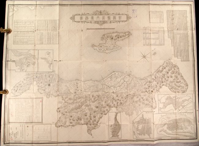
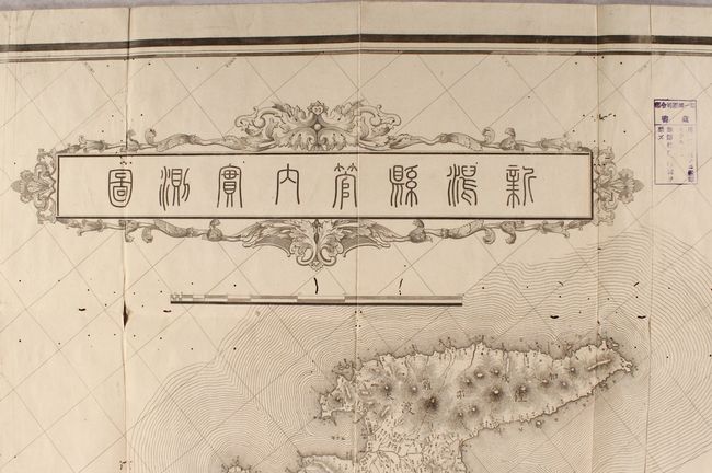
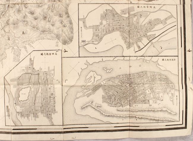
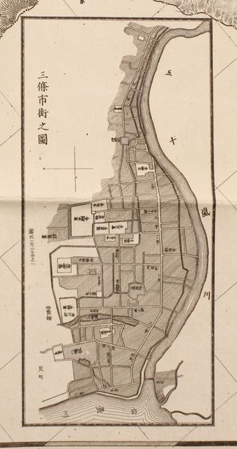
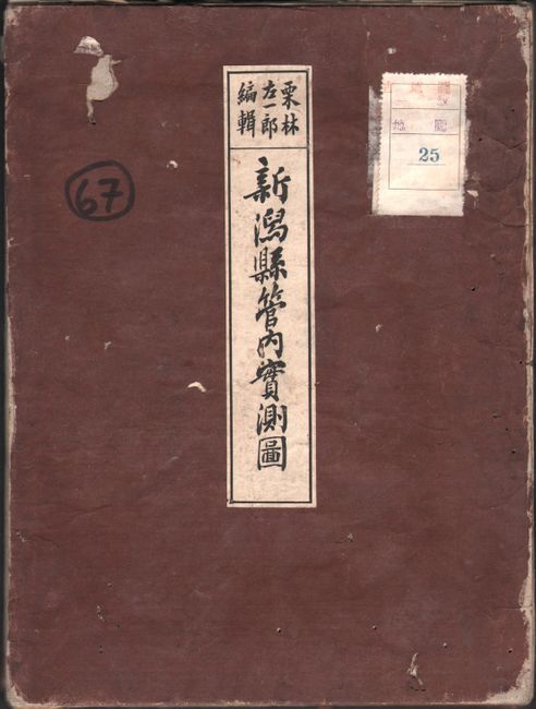
"[Japanese Map - Niigata Prefecture]",
1 of 5
Subject: Niigata Prefecture, Japan
Period: 1900 (circa)
Publication:
Color: Black & White
Size:
58.8 x 42.8 inches
149.4 x 108.7 cm
Download High Resolution Image
(or just click on image to launch the Zoom viewer)
(or just click on image to launch the Zoom viewer)