Catalog Archive
Auction 179, Lot 720

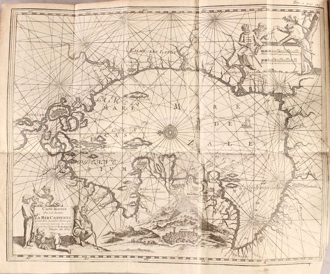
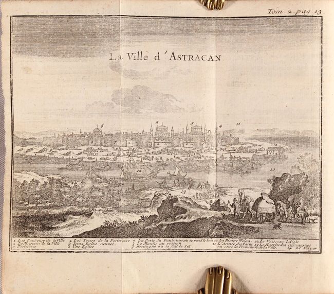
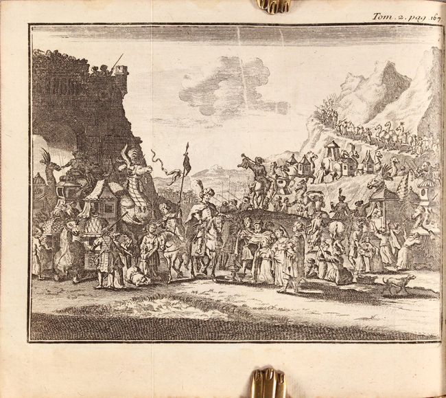
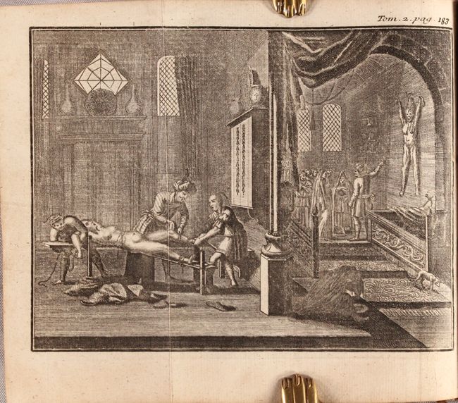
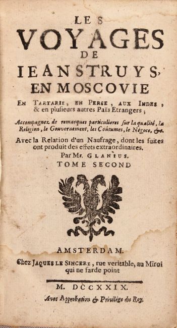
"Carte Marine ou est Decrite la Mer Caspienne… [bound in] Les Voyages de Jean Struys, en Moscovie en Tartarie, en Perse, aux Indes, & en Plusieurs Autres Pais Etrangers ... Tome Second", Meurs, Jacob van

Subject: Caspian Sea

Period: 1729 (published)

Publication:

Color: Black & White

Size:
11.5 x 9 inches
29.2 x 22.9 cm
Download High Resolution Image
(or just click on image to launch the Zoom viewer)

This is an early chart of the Caspian Sea based upon Jan Janszoon Struys' work, whose travels took him throughout Asia and Europe. The chart is oriented with north to the left and there are rhumb lines throughout which originate from a compass rose at image center. There is also nice detail of the coastline, cities and islands in the Caspian. A lovely view of Mount Ararat is included at bottom. Various regional figures surround both the title and distance cartouche. This map is still bound in Tome II of Les Voyages de Jean Struys, en Moscovie en Tartarie, en Perse, aux Indes, which also includes 8 folding engravings of city views and regional people and their customs. The engravings measure approximately 7 x 5". 232 pp., table of contents, map and 8 engravings. 16mo. Hardbound in full original leather with raised bands and gilt tooling and titling on spine; marbled endpapers.

References:

Condition: B+

The map is on a bright sheet with minor soiling and an 8" binding tear that has been archivally repaired. The engravings are mostly clean and bright with minor occasional toning and soiling. The text has minor toning and foxing. The title page has light damp stains that only impact the first couple of pages. The covers are well worn with abrasions and bumped corners, and the spine is just beginning to crack.

Estimate: $350 - $450

Sold for: $250

Closed on 9/16/2020

Archived