Catalog Archive
Auction 179, Lot 674

"Tabula Asaie IIII", Ptolemy/Ruscelli

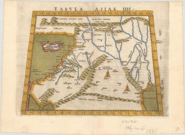
Subject: Middle East

Period: 1561 (published)

Publication: La Geografia di Claudio Tolomeo Alessandrino

Color: Hand Color

Size:
9.6 x 7.1 inches
24.4 x 18 cm
Download High Resolution Image
(or just click on image to launch the Zoom viewer)

Claudius Ptolemy was a mathematician, astronomer and geographer who worked in Alexandria, then a part of the Roman Empire, in the 2nd century AD. One of the most learned and influential men of his time, his theories dominated both astronomy and geography for nearly 1500 years. His writings were kept alive by Arabic scholars during the Middle Ages and reemerged in Europe during the Renaissance. The birth of printing led to wide dissemination of his great works on astronomy and geography. There were a number of editions of his Geographia beginning in 1477. These early editions contained maps based on his original writings, known as Ptolemaic maps. As geographic knowledge increased with the explorations of Columbus, Magellan, Cabot and others, maps of the New World were added, and maps of the Old World were revised. Ptolemy's Geographia continued to be revised and published by some of the most important cartographers including Martin Waldseemuller, Sebastian Munster, Giacomo Gastaldi, Jodocus Hondius, and Gerard Mercator (whose last edition was published in 1730).

This is a slightly enlarged version of Gastaldi's Ptolemaic map of the Middle East. It covers the region from present-day Iraq and the Tigris and Euphrates Rivers westward to the Mediterranean Sea and the island of Cyprus, and from southern Turkey and Armenia Maior to Arabiae Felicis Pars. Bedouin encampments are shown in the interior of Arabia Deserta. Italian text on verso.

References: Mickwitz & Miekkavaara #216-45.

Condition: A

A dark impression with two tiny holes along the centerfold only visible when held to light.

Estimate: $240 - $300

Sold for: $180

Closed on 9/16/2020

Archived