Catalog Archive
Auction 179, Lot 493
"Afteekening van de Noord Oost hoek van Schotland Vertoonende the Firth of Murray...", Keulen, Gerard Hulst van
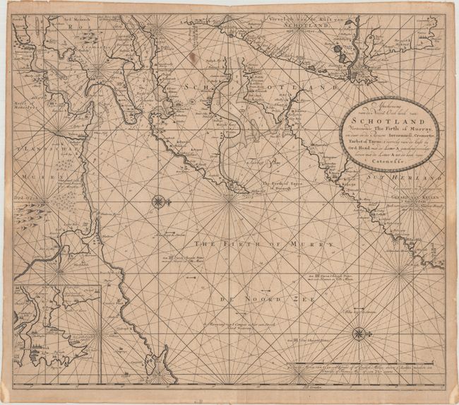
Subject: Northern Scotland
Period: 1681 (circa)
Publication: De Nieuwe Groote Lichtende Zee-Fakkel
Color: Black & White
Size:
23.3 x 20.3 inches
59.2 x 51.6 cm
Download High Resolution Image
(or just click on image to launch the Zoom viewer)
(or just click on image to launch the Zoom viewer)