Catalog Archive
Auction 179, Lot 486

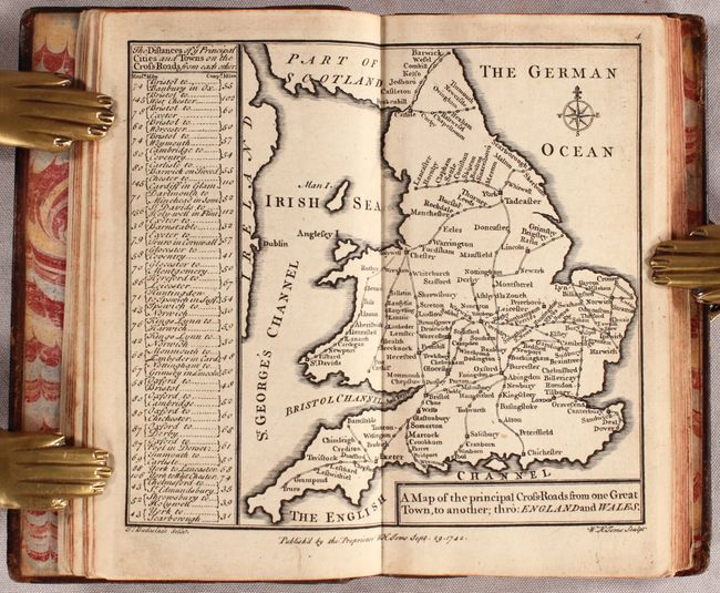
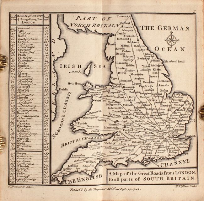
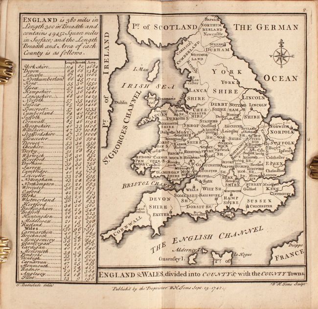
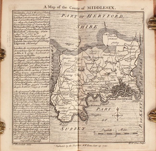
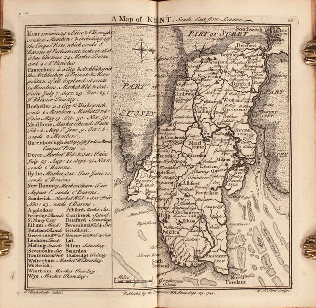
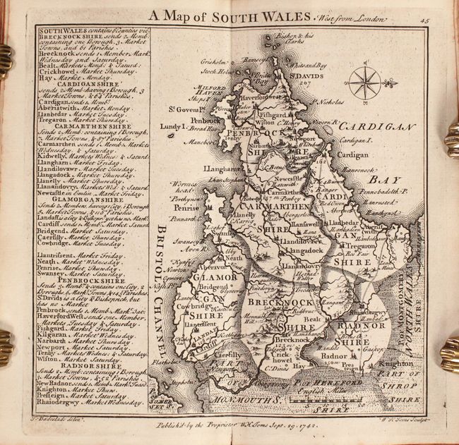
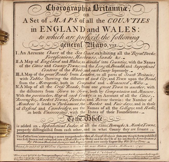
"Chorographia Britanniae or a Set of Maps of All the Counties in England and Wales...", Badeslade/Toms
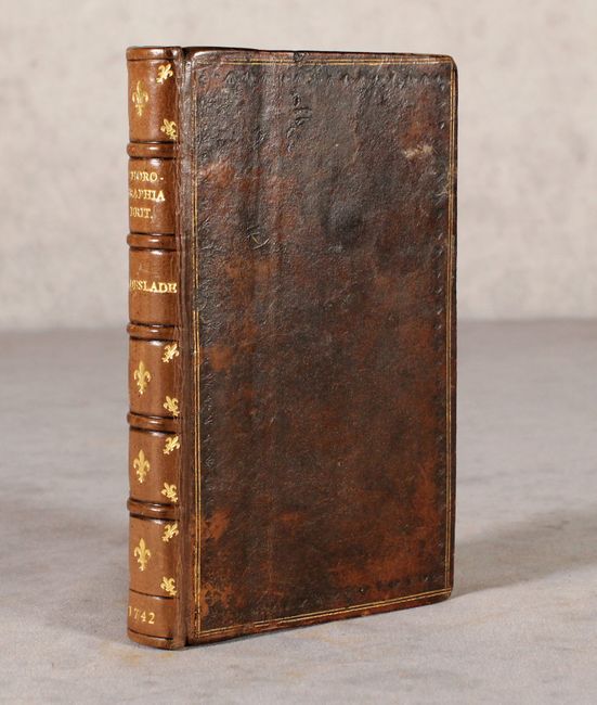
Subject: England & Wales

Period: 1742 (published)

Publication:

Color: Black & White

Size:
4 x 6.7 inches
10.2 x 17 cm
Download High Resolution Image
(or just click on image to launch the Zoom viewer)

This is the first edition of this charming pocketbook, which is comprised of 46 miniature maps and several tables of cities, market towns, and high roads throughout England and Wales. Included are 4 general maps of England, 40 English county maps, and 2 maps of Wales. Each county map also lists the market and fair days for key cities in the county as well as a few additional interesting facts. The title states that the book is "for the use of his late Majesty King George I," which suggests that the work was prepared prior to the King's death in 1727. The book is dedicated to Frederick, Prince of Wales, by the publishers, Thomas Badeslade and William Henry Toms. The maps were drawn by Badeslade and engraved by Toms. 16mo. Hardbound in full leather with raised bands, gilt decoration and titling on spine, and marbled endpapers.

References: Shirley (BL Atlases) T.BAD-1a.

Condition: A

The maps are generally very clean and bright with minor occasional toning or soiling. The dedication page has a chip at top right. The binding is tight. The covers appear original with some scuffing and bumped corners, but the spine and endpapers are modern and pristine. There is a previous owner's bookplate on the front pastedown.

Estimate: $800 - $950

Sold for: $650

Closed on 9/16/2020

Archived