Catalog Archive
Auction 179, Lot 485

"Magnae Britanniae Pars Meridionalis, in qua Regnum Angliae tam in Septem Antiqua Anglo-Saxonum Regna...", Homann, Johann Baptist
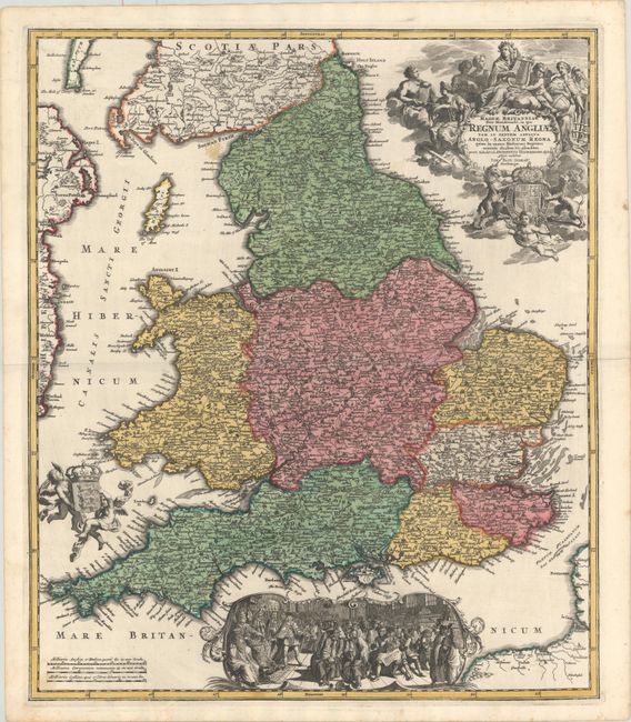
Subject: England & Wales

Period: 1730 (circa)

Publication: Atlas Novus

Color: Hand Color

Size:
19.1 x 22.4 inches
48.5 x 56.9 cm
Download High Resolution Image
(or just click on image to launch the Zoom viewer)

This handsome map is based upon Visscher's map of 1695, delineating counties and showing the boundaries of the seven Anglo-Saxon kingdoms. The map is decorated by a beautiful cartouche surrounded by angels and the British coat of arms. Two other angels hold the Welsh armorial shield, and at bottom is a large vignette of the king holding court. The map is densely engraved with detail including roads. This is the second state of the map without Homann's privilege Cum Privilegio Sac. Caes. Majestatis.

References:

Condition: B+

A dark impression with full contemporary color, minor printer's ink residue, and a few small light stains, including one near Scotland in the blank sea.

Estimate: $300 - $400

Sold for: $350

Closed on 9/16/2020

Archived