Catalog Archive
Auction 179, Lot 448

"Carte du Groenland", Laurent, J.

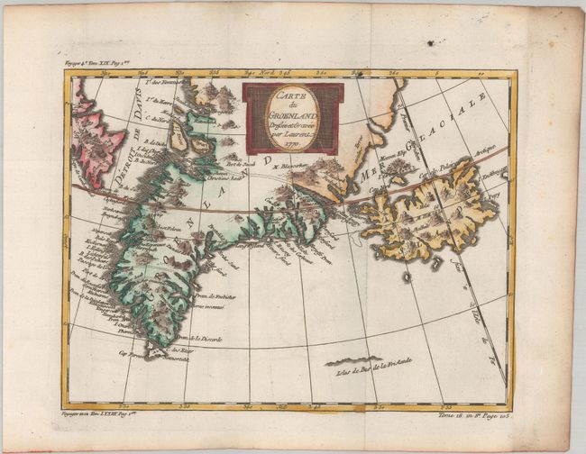
Subject: Greenland & Iceland

Period: 1770 (dated)

Publication: Histoire Generale des Voyages

Color: Hand Color

Size:
9.9 x 7.6 inches
25.1 x 19.3 cm
Download High Resolution Image
(or just click on image to launch the Zoom viewer)

This finely engraved chart of Greenland and Iceland shows the Davis Strait and a portion of Baffin Island in Northeast Canada. Many harbors are located on Greenland's coast with inlets and bays. Three channels are marked with dotted lines apparently demarking the three islands that were thought to make up the tip of Greenland. A small hint of the northern coast of the fictitious Frisland appears as well.

References:

Condition: A

A dark impression on a bright sheet, issued folding with a hint of offsetting and light toning along the edges of the sheet.

Estimate: $110 - $140

Sold for: $80

Closed on 9/16/2020

Archived