Catalog Archive
Auction 179, Lot 105

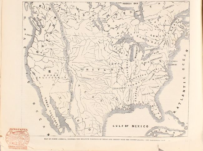
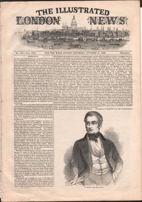
"Map of North America, Showing the Relative Positions of Texas and Oregon with the United States [bound in] The Illustrated London News No. 180.- Vol. VII. For the Week Ending Saturday, October 11, 1845", Illustrated London News

Subject: North America

Period: 1845 (published)

Publication: The Illustrated London News

Color: Black & White

Size:
9 x 7.3 inches
22.9 x 18.5 cm
Download High Resolution Image
(or just click on image to launch the Zoom viewer)

This interesting map of the United States shows the Independent Republic of Texas just two months before it was annexed to the United States. It also depicts the vast Oregon Territory with an ambiguous boundary and includes some notes from the Royal Geographer James Wyld on the Oregon boundary dispute between the United States and Britain. Referring to Oregon, the text states, "This area or immense valley contains 360,000 square miles - more than three times as large as Great Britain and Ireland put together - capable undoubtedly of forming seven states as large as New York, or 40 states of the dimensions of Massachusetts." The map is still bound in the entire issue of Illustrated London News from 11 October 1845 with many additional articles and illustrations. Its cover story is titled "Annexation" and starts: "The last accounts from America prove, what many readers of the signs of the times have long foretold, that the Anglo-Saxon race of the northern portion of that continent are destined to become the lords and rulers of the whole of it."

References:

Condition: A

The map is in very good condition with part of a "one penny" price stamp entering an unengraved area of the map image at bottom left. The newspaper has some small chips and edge tears, and a small illustration has been cut out of one of the pages.

Estimate: $110 - $140

Sold for: $80

Closed on 9/16/2020

Archived