Catalog Archive
Auction 178, Lot 364

"Map of the Republic of Switzerland, Describing Its Twenty-Two Cantons; Including Those of Le Valais, Geneva and Neuchatel...", Wyld, James

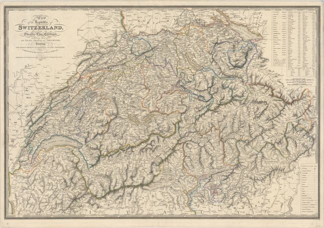
Subject: Switzerland

Period: 1843 (dated)

Publication:

Color: Hand Color

Size:
32.4 x 21.9 inches
82.3 x 55.6 cm
Download High Resolution Image
(or just click on image to launch the Zoom viewer)

This intricately detailed map divides Switzerland into 22 cantons. It features excellent topographical detail of the country's mountains, lakes, and rivers. Tables at top right record the population for each canton, the altitudes of various locations, and the elevations of lakes above sea level. A key at bottom right identifies cities, small towns, villages, churches, castles, ruins, monuments, waterfalls, railroads, and more. There are three distance scales. Surrounded by a piano key border. Engraved by J. Walker.

References:

Condition: A

Contemporary outline color on a sturdy sheet with faint offsetting and a few minor edge tears confined to the blank margins.

Estimate: $200 - $230

Sold for: $150

Closed on 6/10/2020

Archived