Catalog Archive
Auction 178, Lot 244
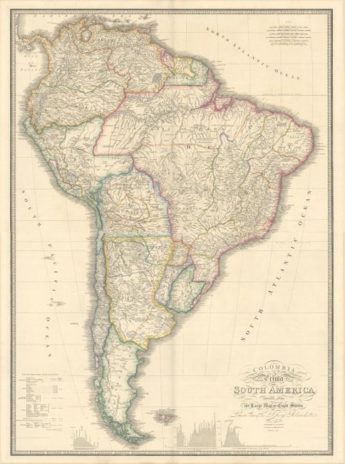
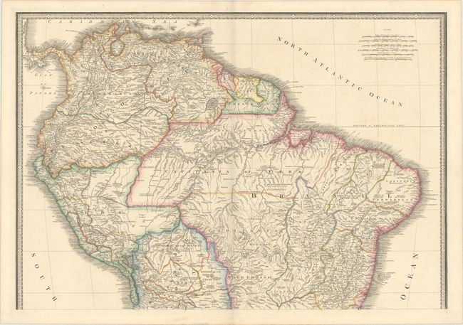
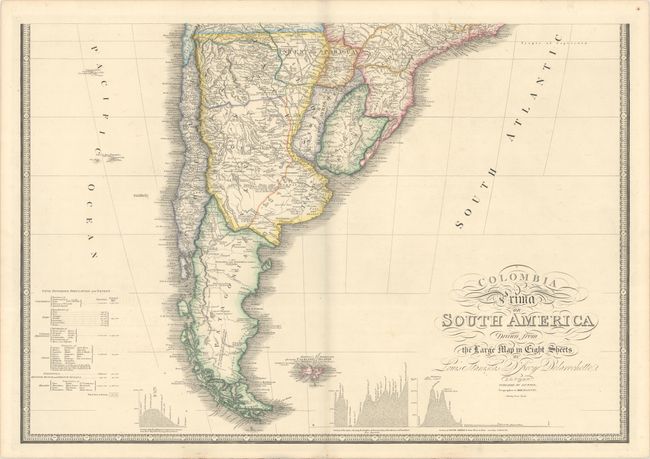
"[On 2 Sheets] Colombia Prima or South America Drawn from the Large Map in Eight Sheets by Louis Stanislas d'Arcy Delarochette", Wyld, James
1 of 3
Subject: South America
Period: 1842 (circa)
Publication:
Color: Hand Color
Size:
30.5 x 21.1 inches
77.5 x 53.6 cm
Download High Resolution Image
(or just click on image to launch the Zoom viewer)
(or just click on image to launch the Zoom viewer)