Catalog Archive
Auction 178, Lot 235

"Carte Reduite pour la Navigation de Cayenne a la Martinique Dressee au Depost des Cartes Plans et Journaux de la Marine...", Bellin, Jacques Nicolas

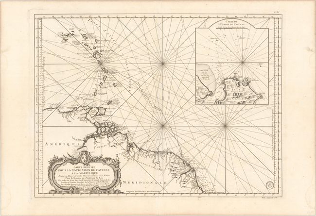
Subject: Lesser Antilles & Northern South America

Period: 1764 (dated)

Publication: Hydrographie Francoise…

Color: Black & White

Size:
29.3 x 21.8 inches
74.4 x 55.4 cm
Download High Resolution Image
(or just click on image to launch the Zoom viewer)

This is a fabulous large chart of the Lesser Antilles and the northeastern coast of South America. It focuses on the route between the French colonies of Cayenne (Guiana) and Martinique. The map extends from the Virgin Islands to the coast of South America and includes a detailed inset map of the entrance to Cayenne harbor with its important fort and sugar plantations. Obscuring the interior region is an elaborate, rococo cartouche. The Depot de la Marine seal appears at bottom right.

References:

Condition: A

A sharp impression on a bright sheet of watermarked paper with faint offsetting, minor soiling, and some light damp stains confined to the blank margins.

Estimate: $300 - $400

Sold for: $180

Closed on 6/10/2020

Archived