Catalog Archive
Auction 174, Lot 808

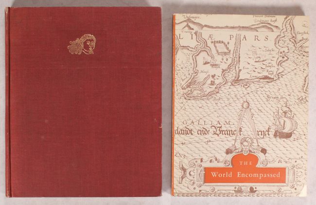
"[Lot of 2] Decorative Printed Maps of the 15th to 18th Centuries [and] The World Encompassed...",

Subject: References

Period: 1952 (published)

Publication:

Color: Printed Color

Size:
10 x 12.4 inches
25.4 x 31.5 cm
Download High Resolution Image
(or just click on image to launch the Zoom viewer)

A. Decorative Printed Maps of the 15th to 18th Centuries, by R.A. Skelton, published 1952, printed color (10.0 x 12.4"). First edition of this revised edition of Old Decorative Maps and Charts by A.L. Humphreys. Mr. Skelton was the Superintendent of the Map Room at the British Museum when he published this work. 84 images in color and b/w, 80 text pages. Hardbound in red cloth, titled in gilt on spine with a gilt windhead on the front cover. Condition: There is light toning on the text pages and along the sheet edges of the illustrations. Covers have light shelf wear, and the spine is lightly sunned.

B. The World Encompassed - An Exhibition of the History of Maps Held at the Museum of Art October 7 to November 23, 1952, by the Trustees of the Walters Art Gallery, published 1952, black & white (9.0 x 12.0"). This interesting and scarce reference catalog was printed to accompany an exhibition on the history of maps held at the Baltimore Museum of Art in 1952. Pictorial wrappers, paperback. Provides information on over 280 maps with 63 plates. The illustrations are very high quality. One of only 2000 copies printed. Condition: Text block has a split in the middle, but contents are still tight. Covers have light shelf wear, with a small chip in the bottom corner.

References:

Condition: B+

See description above.

Estimate: $80 - $100

Sold for: $60

Closed on 9/11/2019

Archived