Catalog Archive
Auction 174, Lot 701

NO RESERVE

"Carte de la Baye d'Hocsieu et des Entrees de la Riviere de Chang, dans la Province de Fokyen, en Chine", Bellin, Jacques Nicolas

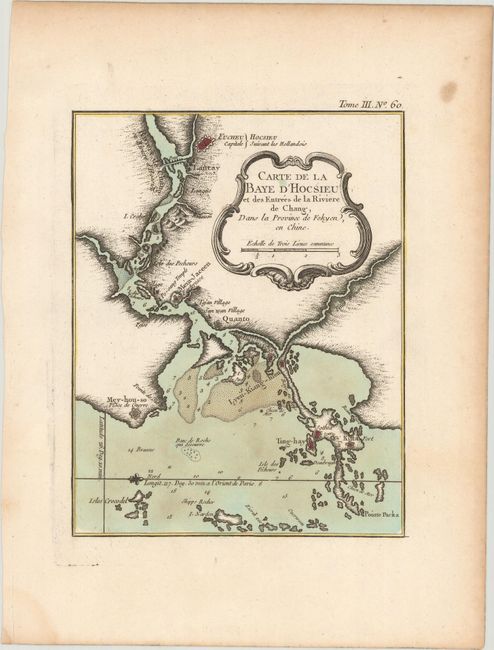
Subject: Southeastern China

Period: 1764 (circa)

Publication: Le Petit Atlas Maritime

Color: Hand Color

Size:
6.6 x 8.4 inches
16.8 x 21.3 cm
Download High Resolution Image
(or just click on image to launch the Zoom viewer)

This attractive chart of the coastal areas of Fujian Province with the capital city of Fucheu (Fuzhou) prominently shown. It provides detailed depth soundings, anchorages, and topographical detail. The map locates the fortified towns of Ting-hay, Quanto, Fucheu, Sothia, and Fort Kitta. North is oriented to the right. There is a rococo-style title cartouche that incorporates a distance scale.

References:

Condition: B+

A fine impression on a watermarked sheet with some light stains and marginal toning.

Estimate: $100 - $130

Unsold

Closed on 9/11/2019

Archived