Catalog Archive
Auction 174, Lot 498

"A New and Accurate Map of Portugal Composed from the Latest Improvemts. and Adjusted by the Most Authentic Astronl. Observats.", Bowen, Emanuel
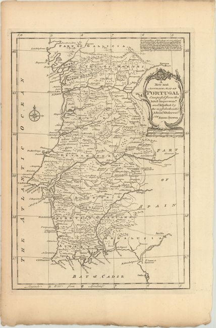
Subject: Portugal

Period: 1766 (circa)

Publication: A Complete System of Geography…

Color: Black & White

Size:
8.6 x 12.4 inches
21.8 x 31.5 cm
Download High Resolution Image
(or just click on image to launch the Zoom viewer)

This handsome map of Portugal shows provinces, towns and cities, mountains, rivers, and roads. A note at top right credits some of the cartographic information to "an English Chart lately Published entitled The Seat of War in the Ocean & Mediterran Sea: And also to the Draughts of the Pilots of Marseilles &c." The decorative title cartouche incorporates the Portuguese coat of arms and a scale of English miles. There is a compass rose in the Atlantic.

References: McCorkle (18th C. Geography Books) #17-10 (Vol I); cf. Shirley (BL Atlases) T.BOW-2d #15.

Condition: A

Minor toning along the sheet edges.

Estimate: $140 - $180

Sold for: $85

Closed on 9/11/2019

Archived