Catalog Archive
Auction 174, Lot 436
"Nieuwe Kaart van het Koninkryk van Deenemarken na de Laatste Ondekking int Licht Gebracht", Tirion, Isaac
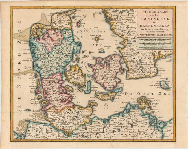
Subject: Denmark
Period: 1734 (dated)
Publication:
Color: Hand Color
Size:
13.5 x 11.1 inches
34.3 x 28.2 cm
Download High Resolution Image
(or just click on image to launch the Zoom viewer)
(or just click on image to launch the Zoom viewer)