Catalog Archive
Auction 174, Lot 383
Very Rare Sea Chart by Louis Vlasbloem
"Europa",
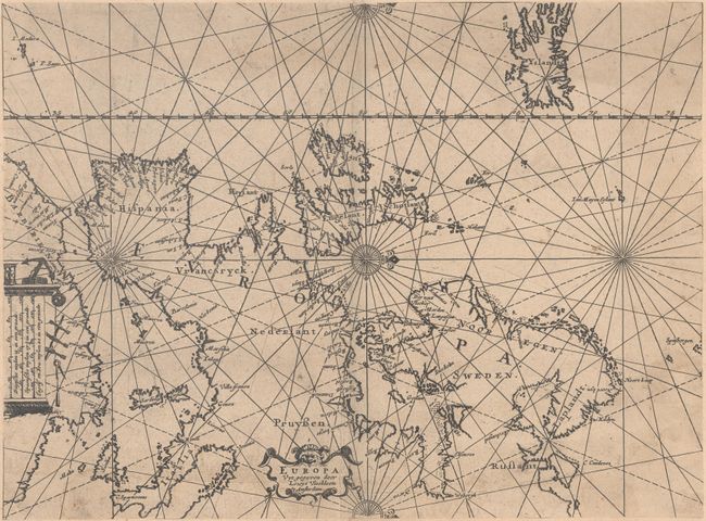
1 of 2
Subject: Europe
Period: 1656 (circa)
Publication: The North Zea...
Color: Black & White
Size:
11.7 x 8.6 inches
29.7 x 21.8 cm
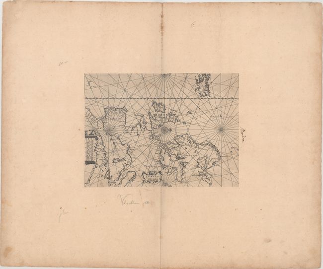
Download High Resolution Image
(or just click on image to launch the Zoom viewer)
(or just click on image to launch the Zoom viewer)