Catalog Archive
Auction 174, Lot 325

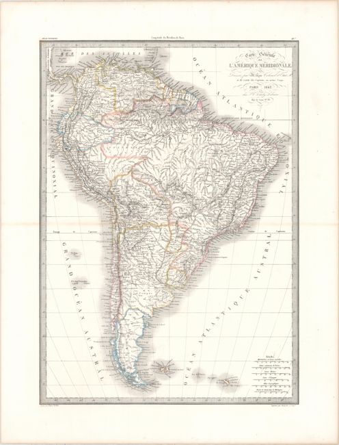
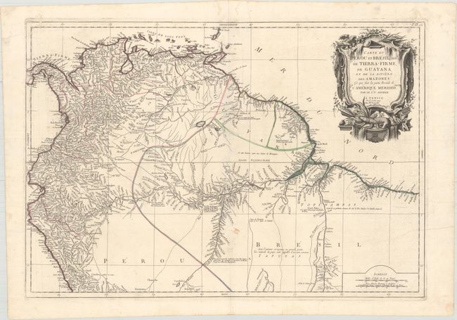
"[Lot of 2] Carte Generale de l'Amerique Meridionale [and] Carte du Perou et Bresil Sepl. de Tierra-Firme, de Guayana, et de la Riviere des Amazones...",

Subject: South America

Period: 1779-1842 (dated)

Publication:

Color: Hand Color

Size:
See Description
Download High Resolution Image
(or just click on image to launch the Zoom viewer)

A. Carte Generale de l'Amerique Meridionale, by Lapie/Tardieu, from Atlas Universel de Geographie Ancienne et Moderneā€¦, dated 1842 (15.5 x 21.7"). This attractive map focuses on the extensive river systems and topography within South America. Towns and cities, native tribes, and roads are shown as well. The map includes six distance scales and is surrounded by keyboard-style borders. Delicately engraved by Pierre Tardieu and printed by Kaeppelin & Co. Condition: A crisp impression on a clean sheet with original outline color. There is minor toning along the centerfold and faint offsetting. (A)

B. Carte du Perou et Bresil Sepl. de Tierra-Firme, de Guayana, et de la Riviere des Amazones..., by D'Anville/Santini, from Atlas Universel Dresse sur les Meilleures Cartes Modernes, dated 1779 (26.4 x 18.3"). This handsome map of the northern section of South America is based on D'Anville's important 3-sheet map of the continent. It covers the continent north of the equator and provides a particularly detailed view of the rivers. Large regions are completely blank with notations regarding the various Indian tribes. An attractive decorative title cartouche at top right features a few eels. This edition was issued by Remondini. Condition: A fine impression on watermarked paper with a number of worm holes and tracks along the centerfold and top margin, most of which have been closed on verso with archival materials. There is also light offsetting, a few minor spots, and a couple printer's creases. (B)

References:

Condition:

See description above.

Estimate: $220 - $250

Sold for: $130

Closed on 9/11/2019

Archived