Catalog Archive
Auction 174, Lot 316
NO RESERVE
"Plan du Port du Carenage ou Petit Cul de Sac de l'Isle Se Lucie", Bellin, Jacques Nicolas
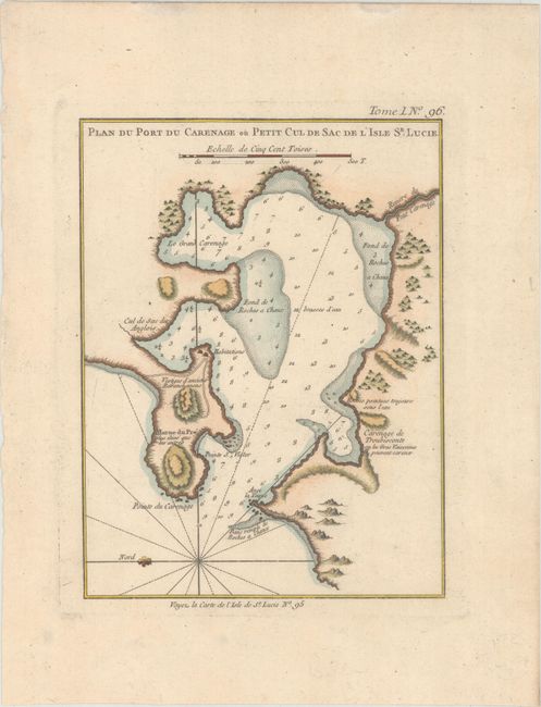
Subject: Castries, St. Lucia
Period: 1764 (circa)
Publication: Le Petit Atlas Maritime
Color: Hand Color
Size:
6.3 x 8.3 inches
16 x 21.1 cm
Download High Resolution Image
(or just click on image to launch the Zoom viewer)
(or just click on image to launch the Zoom viewer)