Catalog Archive
Auction 174, Lot 287
"Carte Particuliere de la Cote N.O. du Darien Depuis l'Ile de Pinos Jusqu'au Golfe St. Blas. D'Apres les Nouvelles Cartes Espagnoles...", Depot de la Marine
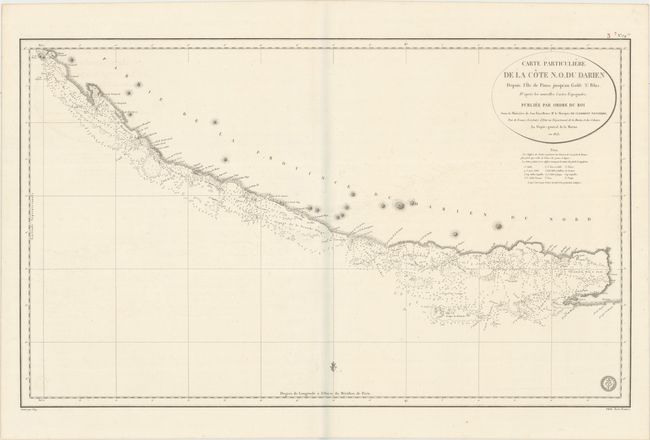
Subject: Panama
Period: 1823 (dated)
Publication: Neptune Americo-Septentrional
Color: Black & White
Size:
36.1 x 21.9 inches
91.7 x 55.6 cm
Download High Resolution Image
(or just click on image to launch the Zoom viewer)
(or just click on image to launch the Zoom viewer)