Catalog Archive
Auction 174, Lot 239

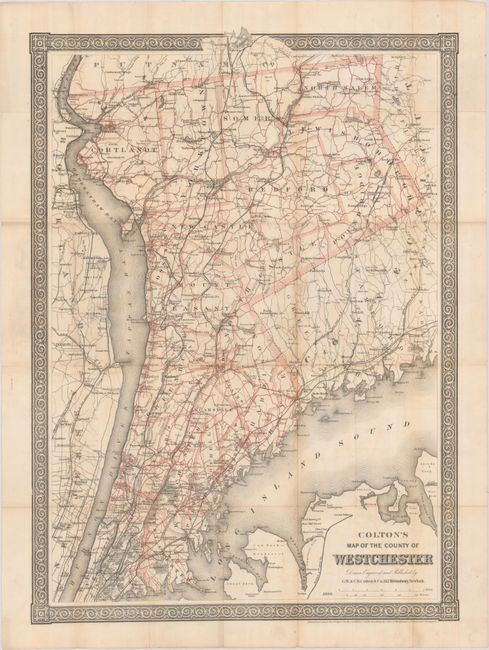
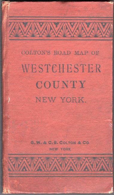
"Colton's Map of the County of Westchester", Colton, G.W. & C.B.

Subject: Westchester County, New York

Period: 1890 (dated)

Publication:

Color: Printed Color

Size:
17.8 x 24.4 inches
45.2 x 62 cm
Download High Resolution Image
(or just click on image to launch the Zoom viewer)

This map shows Westchester county divided into its municipalities and covers the area from just north of Manhattan to Mahopac in Putnam County. There is good detail of the towns, cities, roads and railroads, along with portions of Long Island, New Jersey and Connecticut. Surrounded by a decorative border. Accompanied by its original brown cloth boards (3.7 x 6.4").

References:

Condition: B+

Issued folding with several tiny splits at fold intersections. The map is detached from the boards, which has light wear and minor soiling.

Estimate: $250 - $325

Sold for: $150

Closed on 9/11/2019

Archived