Catalog Archive
Auction 173, Lot 88

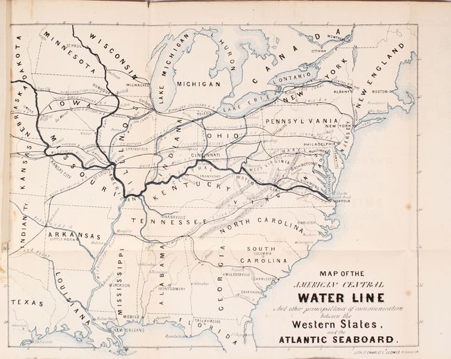
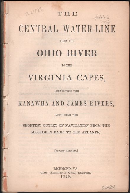
"Map of the American Central Water Line and Other Principal Lines of Communication Between the Western States, and the Atlantic Seaboard [bound in] The Central Water-Line from the Ohio River to the Virginia Capes...",

Subject: Eastern United States

Period: 1869 (published)

Publication:

Color: Printed Color

Size:
13.5 x 10.9 inches
34.3 x 27.7 cm
Download High Resolution Image
(or just click on image to launch the Zoom viewer)

This map and report was issued by the James River & Kanawha Company "at the request of prominent citizens of the Western States." It details the need for a water route from the Mississippi River to the Chesapeake Bay via the Ohio, Kanawha, and James rivers. The proposal would have required construction of a 289 mile extension linking Buchanan, Virginia to the Ohio River. The report states that this proposed route would be both cheaper and faster than either railroads or the two other water routes to the Atlantic (via the Great Lakes or Gulf of Mexico). Accompanying the report is a folding map of the eastern United States showing the "American Central Water Line" in dark blue with a number of other railroads and canals depicted in the region. Lithographed by Charles Ludwig in Richmond, Virginia.

Though largely financed by the Commonwealth of Virginia through the first half of the 19th century, the James River & Kanawha Company was forced to look for external investors after the Civil War. With stiff competition from the railroads and a devastating flood in 1877, the company was forced to dismantle and a new railroad (the Richmond & Allegheny) was laid down in its path.

References:

Condition: B+

The map has light scattered foxing, minor offsetting, and a short binding tear that just enters the border at left. Text is very good with light toning and an occasional spot of foxing. Paper wrappers not present.

Estimate: $200 - $230

Unsold

Closed on 6/5/2019

Archived