Catalog Archive
Auction 173, Lot 464

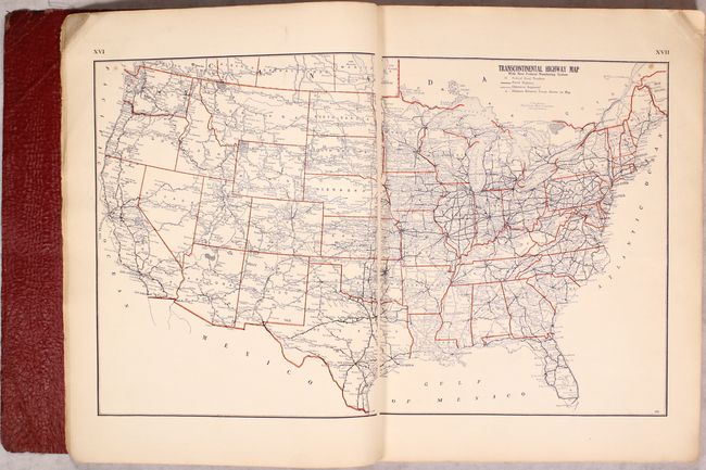
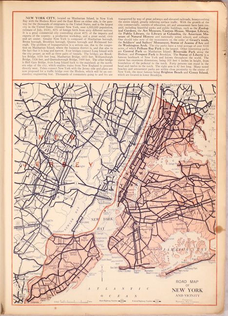
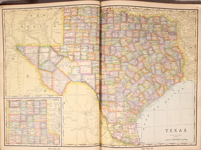
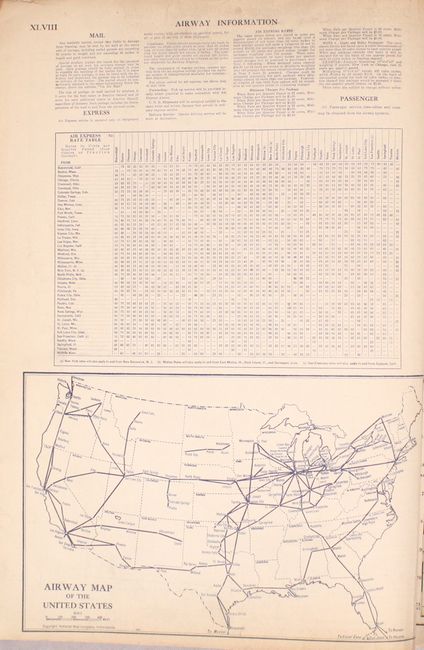
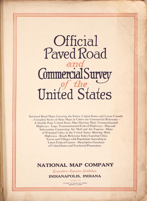
NO RESERVE - Early American Road Atlas

"Official Paved Road and Commercial Survey of the United States", National Map Company

Subject: Atlases, United States

Period: 1933 (circa)

Publication:

Color: Printed Color

Size:
11.7 x 15 inches
29.7 x 38.1 cm
Download High Resolution Image
(or just click on image to launch the Zoom viewer)

This very early road atlas was issued less than a decade after the formation of the Federal Highway Numbering System in 1926. Prior to this date, road markings were done primarily by auto trail associations and did not offer a complete picture of the highway system in the country. This unique atlas includes 30 road maps of major cities, and both road maps and "commercial" (atlas) maps for each state. The road maps each include a key identifying paved roads, improved roads, unimproved roads, state highway numbers, and federal highway numbers. Also of interest is a map showing the emerging "air routes" as well as a map identifying national parks & monuments in the western half of the country. Hardbound in faux leather with gilt title on the front cover.

References:

Condition: B+

Maps are very good to near fine with a hint of light toning and occasional soiling along the sheet edges. Binding has light shelf wear.

Estimate: $100 - $130

Sold for: $100

Closed on 6/5/2019

Archived