Catalog Archive
Auction 173, Lot 376

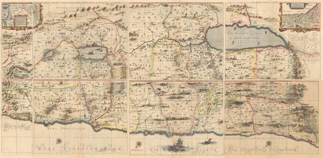
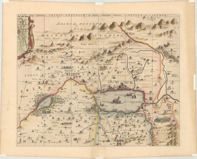
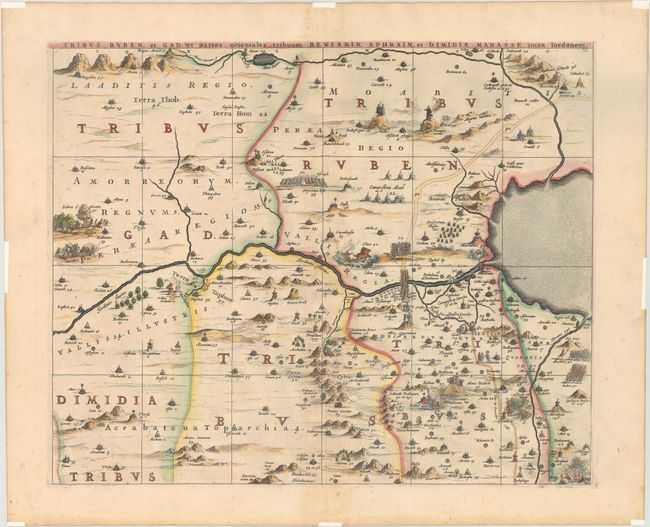
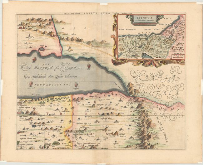
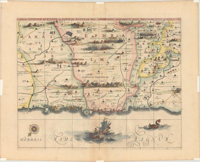
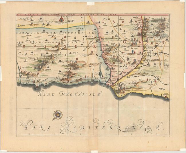
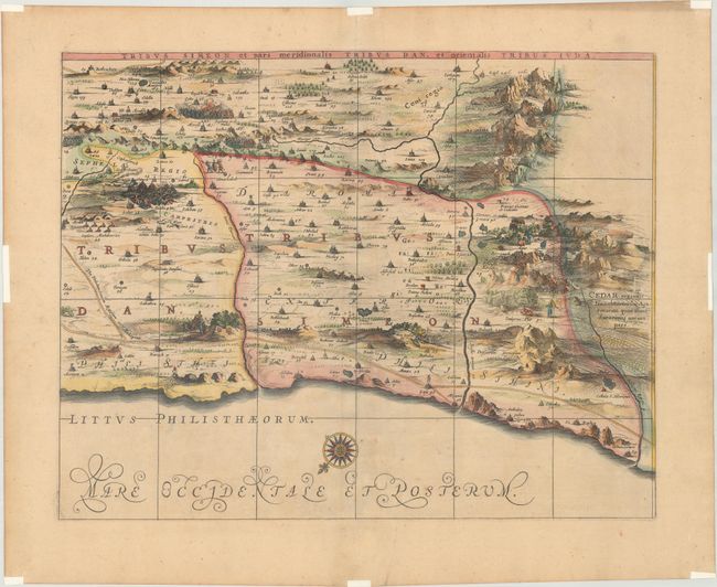
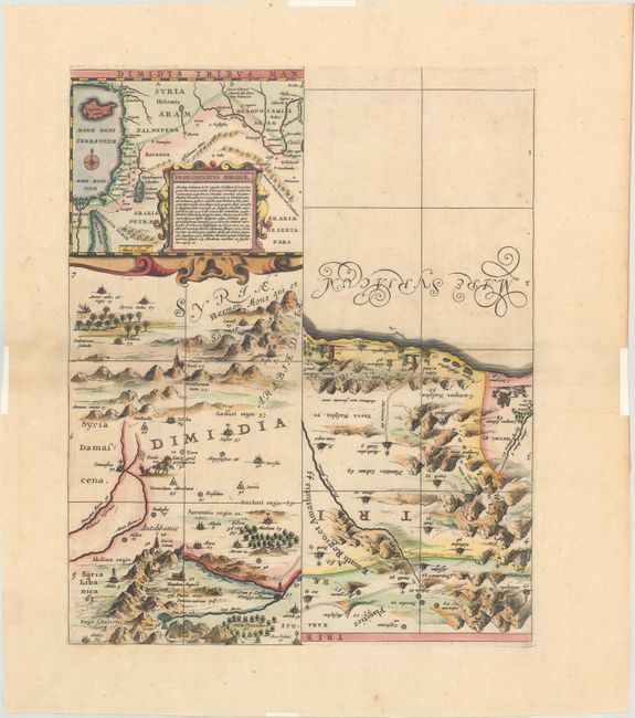
Impressive Wall Map of the Holy Land on 7 Separate Sheets

"[On 7 Sheets] Dimidia Tribus Manasse ... [and] Tribus Ruben, et Gad ... [and] Pars Maxima Tribus Iuda ... [and] Tribuum Ephraim ... [and] Tribus Aser ... [and] Tribus Simeon …", Jansson, Jan

Subject: Holy Land

Period: 1680 (circa)

Publication:

Color: Hand Color

Size:
21 x 16.9 inches
53.3 x 42.9 cm
Download High Resolution Image
(or just click on image to launch the Zoom viewer)

This superb, large wall map on seven separate sheets is based on Adrichom's "Situs Terrae Promissionis." Oriented to the east, the map shows the region divided into the twelve tribes on both sides of the Jordan River, the shoreline running from Sidon to Alexandria. The Cison Torrens (Kishon River) is shown as connecting the Sea of Galilee with the Mediterranean Sea, and there are many nonexistent rivers, e.g., a river connecting Jerusalem with the Dead Sea. In the Dead Sea, four burning cities are shown: Sodoma, Gomorra, Seboim, and Adama. The dramatic map is beautifully engraved to show topographical features, major roads, towns and villages and richly embellished with dozens of biblical illustrations. Inset maps in the top corners depict Abraham's journey and the wandering of the Israelites through the desert. This map was published in Jansson's Accuratissima Orbis Antiqui Delineatio…, with text by Georg Horn. One of the seven sheets is made up of two half sheets, which were intended to be separated and joined with the remaining sheets. The six single sheets measure 21 x 16.9", and the seventh sheet with the two half sheets measures 13.7 x 16.9". If the sheets were joined the entire map would measure 70 x 34". Blank versos.

References: Laor #343-349; Van der Krogt (Vol. I) #8150:1D.

Condition: B+

Crisp impressions with minor toning that is more visible along the centerfolds on several of the sheets. Remnants of hinge tape along the edges of the sheets. Although the coloring is attractive, the colors of the boundary lines between sheets do not always match. The first image is a composite image - the map is in seven separate sheets.

Estimate: $2,400 - $3,000

Sold for: $1,400

Closed on 6/5/2019

Archived