Catalog Archive
Auction 173, Lot 368

"Ponti Pars, ad Halym, Iridem Thermodontemq; Fluvios Sita quam Heroicis Temporibus Amazones; Romanorum Aetate Mithridatis Regnum...", Sanson/Mortier

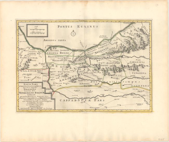
Subject: Northern Turkey

Period: 1700 (circa)

Publication:

Color: Hand Color

Size:
19.4 x 13.1 inches
49.3 x 33.3 cm
Download High Resolution Image
(or just click on image to launch the Zoom viewer)

This is Pierre Mortier's edition of a map originally issued by Guillaume Sanson in 1676 for a historical atlas by the Typographia Seminary in Padua. It shows northern Turkey and the vast network of trade routes between various towns and cities. The Romans and King Mithradates of Pontus had several battles over this important region during the Mithridatic Wars, with the Roman general Pompey the Great finally defeating the king in 62 BC.

References:

Condition: A

A crisp impression with minor printer's ink residue.

Estimate: $180 - $220

Unsold

Closed on 6/5/2019

Archived