Catalog Archive
Auction 173, Lot 324

"Hongrie. Ou Partie Septent. de la Turquie en Europe", Fer, Nicolas de

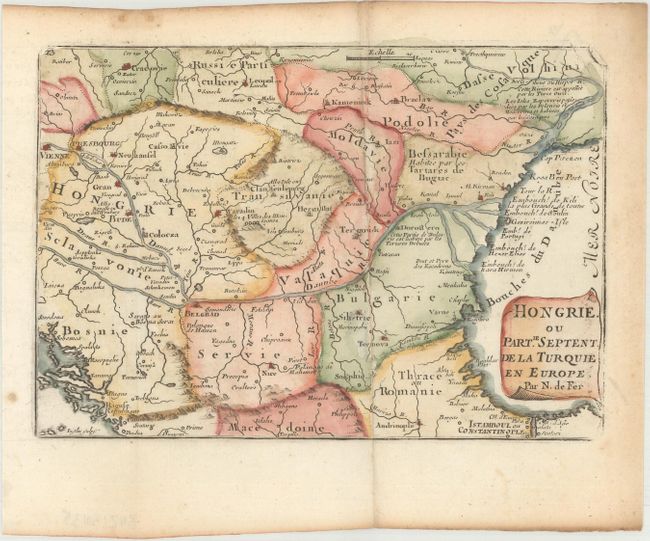
Subject: Southeastern Europe, Hungary

Period: 1705 (published)

Publication: Petit et Nouveau Atlas

Color: Hand Color

Size:
7.9 x 5.4 inches
20.1 x 13.7 cm
Download High Resolution Image
(or just click on image to launch the Zoom viewer)

Charming small map covering Hungary, Romania and most of the Balkans. The Danube River is the most prominent feature of the map. Extends from Vienna to the Black Sea and south to include Sofiya and Constantinople. The parchment title cartouche fills the Black Sea. Engraved by Charles Inselin.

References: Pastoureau, FER XII B.

Condition: A

A nice example, issued folding on paper with a bunch of grapes watermark and light toning along the edges of the sheet.

Estimate: $110 - $140

Unsold

Closed on 6/5/2019

Archived