Catalog Archive
Auction 173, Lot 309
"Geographische Vorstellung Derer Konigreiche Polen und Preussen mit Derem Incorporierten Landen", Bodenehr, Gabriel
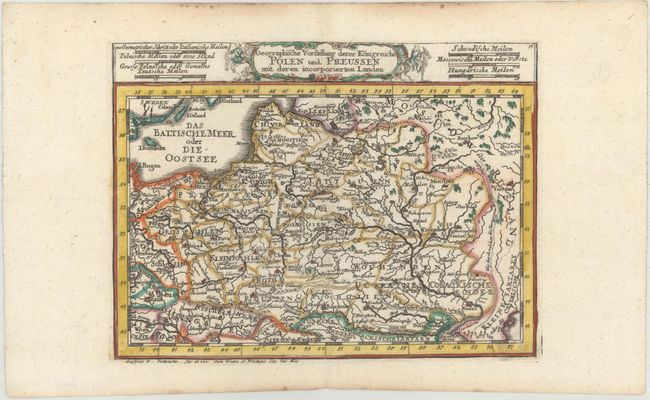
Subject: Eastern Europe, Poland
Period: 1704 (published)
Publication: Atlas Curieux
Color: Hand Color
Size:
8.2 x 6.11 inches
20.8 x 15.5 cm
Download High Resolution Image
(or just click on image to launch the Zoom viewer)
(or just click on image to launch the Zoom viewer)