Catalog Archive
Auction 173, Lot 206

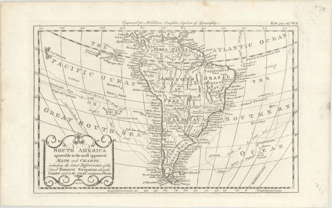
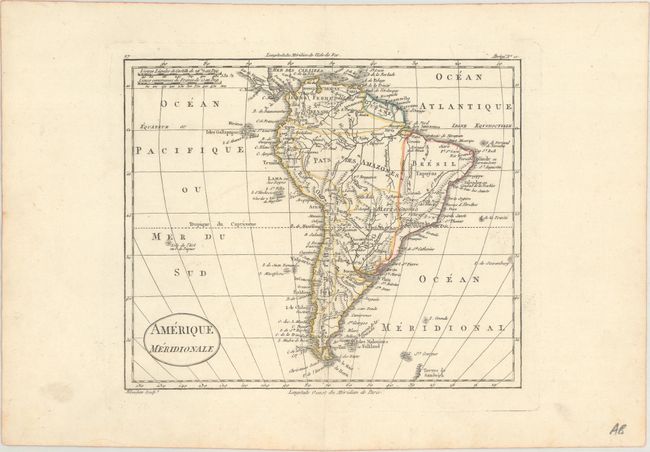
"[Lot of 2] South America Agreeable to the Most Approved Maps and Charts Including the Latest Discoveries of the Most Eminent Navigators... [and] Amerique Meridionale",

Subject: South America

Period: 1777-1825 (circa)

Publication:

Color:

Size:
See Description
Download High Resolution Image
(or just click on image to launch the Zoom viewer)

A. South America Agreeable to the Most Approved Maps and Charts Including the Latest Discoveries of the Most Eminent Navigators Along the Coast and in the Seas Contiguous Theirto, by Charles T. Middleton, from A New and Complete System of Geography..., circa 1777, black & white (11.5 x 7.3"). This small but detailed map of South America traces the routes of a number of explorers, including Cook, Anson, Wallis, Carteret, Bougainville, and Halley. There are plenty of place names and good topographical detail. The mythical L. de los Xarayes appears near the present-day border between Bolivia and Brazil. Ruins of Xeres, Ciudad Real, and la Conceptn are located. In the Pacific, the Galapagos Islands are depicted, and to the south there is a small coastline of Easter Island labeled Land seen by Capt. Davis in 1686. A small stretch of coastline in the South Atlantic is identified as Terra Australis. Engraved by Flyn. Ref: McCorkle (18th C. Geography) #280-15. Condition: A crisp impression with a short, archivally repaired edge tear in the right blank margin.

B. Amerique Meridionale, by Hyacinthe Langlois, from Atlas Universel pour la Geographie de Guthrie, circa 1802, hand color (8.6 x 7.1"). This handsome map of South America features place names and some topographical information. It locates the Galapagos and locates Terres de Sandwich as an incomplete coastline to the southeast of the continent. Engraved by Blondeau. Condition: There is a short centerfold separation in the bottom blank margin.

References:

Condition: A

See description above.

Estimate: $120 - $150

Unsold

Closed on 6/5/2019

Archived