Catalog Archive
Auction 173, Lot 199

"Plan der Insuln Guadeloupe und Marie Galante...", Raspe, Gabriel Nikolaus
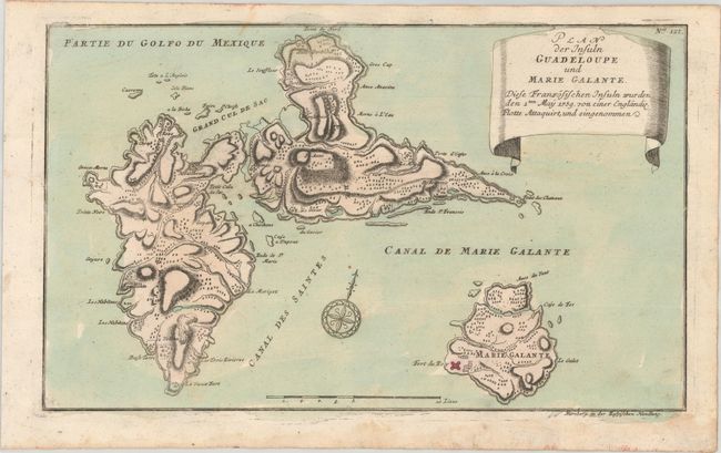
Subject: Guadeloupe

Period: 1759 (circa)

Publication: Schauplatz des Gegenwaertigen Kriegs

Color: Hand Color

Size:
14.1 x 8.5 inches
35.8 x 21.6 cm
Download High Resolution Image
(or just click on image to launch the Zoom viewer)

This uncommon map of Guadeloupe was published in Raspe's Schauplatz des Gegenwaertigen Kriegs, which contained over 150 maps and battle plans relating to the worldwide theater of the Seven Years' War. The British invaded the French colony of Guadeloupe in 1759, and the possession proved lucrative for the colonists, who were able to cash in on the island's sugar industry. As part of the terms of the Treaty of Paris (1763), the French regained control of the island in exchange for their Canadian colonies. The map features nice topographical detail and locates settlements, a fort on Marie-Galante, and a volcano. There is a compass rose in the ocean.

References: Phillips (Atlases) #2825-127; Shirley (BL Atlases) G.RASP-1a #127.

Condition: B+

There is some minor soiling and a dampstain confined to the bottom blank margin.

Estimate: $250 - $325

Sold for: $180

Closed on 6/5/2019

Archived