Catalog Archive
Auction 173, Lot 170

NO RESERVE

"(306) Laramie Range - World Aeronautical Chart", U.S. Coast & Geodetic Survey

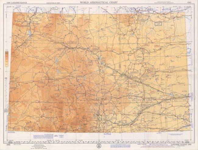
Subject: Wyoming, Flight Maps

Period: 1968 (dated)

Publication:

Color: Printed Color

Size:
28 x 20.4 inches
71.1 x 51.8 cm
Download High Resolution Image
(or just click on image to launch the Zoom viewer)

This detailed aeronautical chart was designed to be used by pilots flying over the Laramie Range. The map centers on southern Wyoming and extends to include parts of Colorado, South Dakota, and Nebraska. It includes information on aerodromes and landing facilities, air navigation lights, radio communications, topography, and more. An extensive key on verso explains the various symbols used. This is the 34th edition, with data up to date as of September 18, 1968.

References:

Condition: A

Issued folding. Near fine.

Estimate: $30 - $50

Sold for: $40

Closed on 6/5/2019

Archived